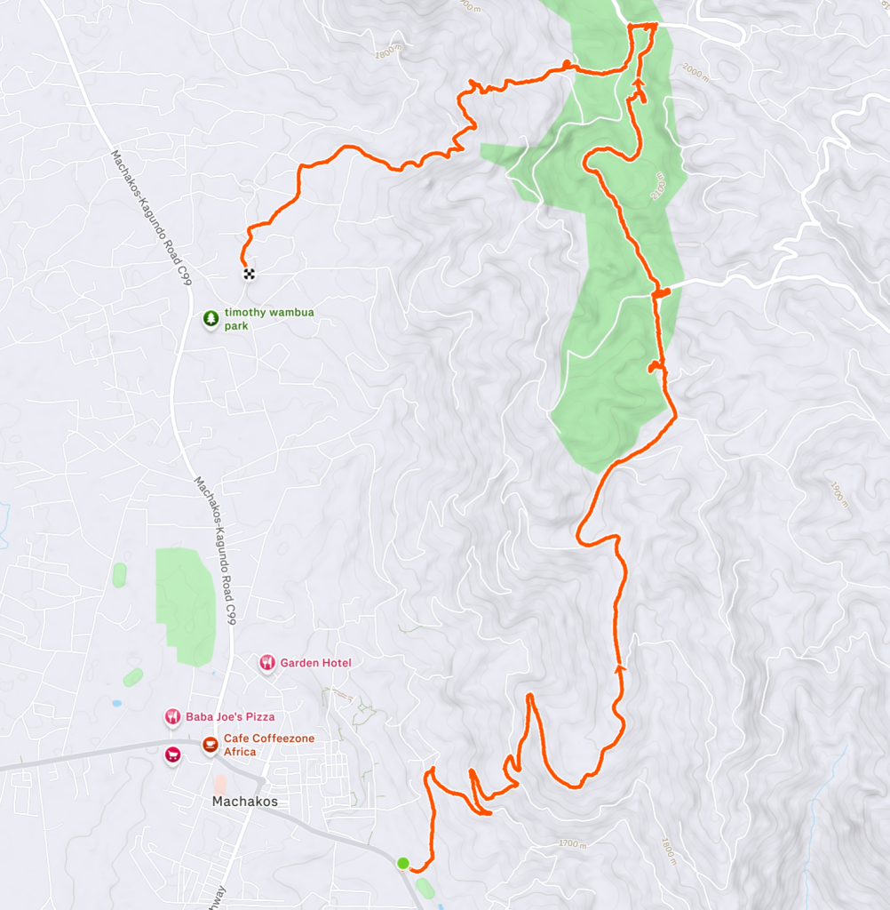
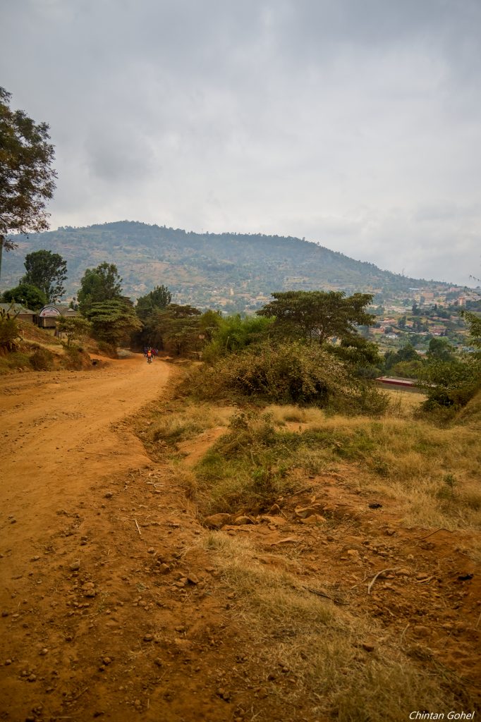
Located right next to Machakos town is long curving set of hills called Iveti. The hills start east of Machakos and curve north and west up to Mua
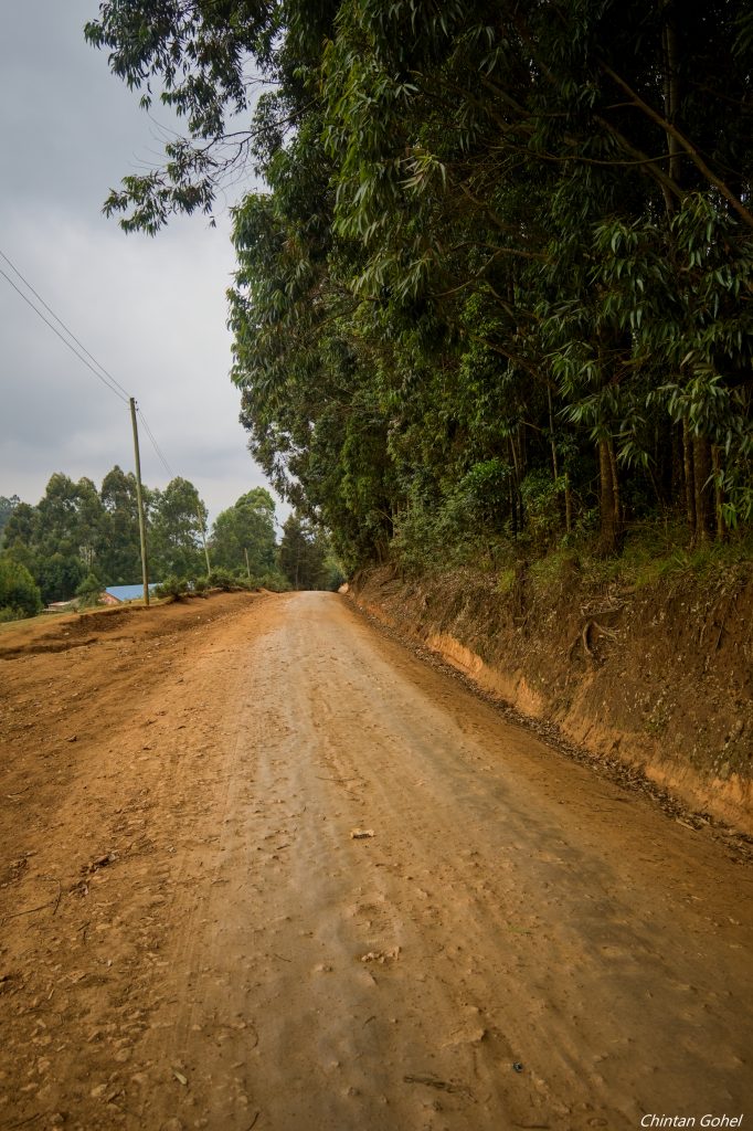
Our hike begins at Machakos town, on a rise up to and into Katunga Forest along the ridgeline before we descend down at a different location away from Machakos town
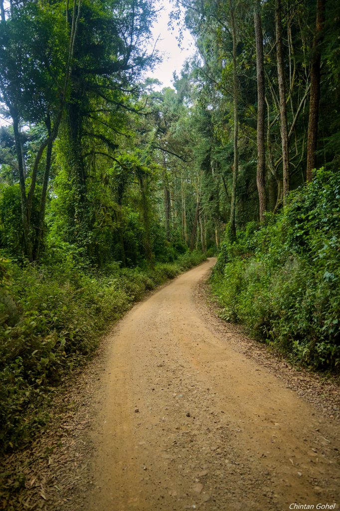
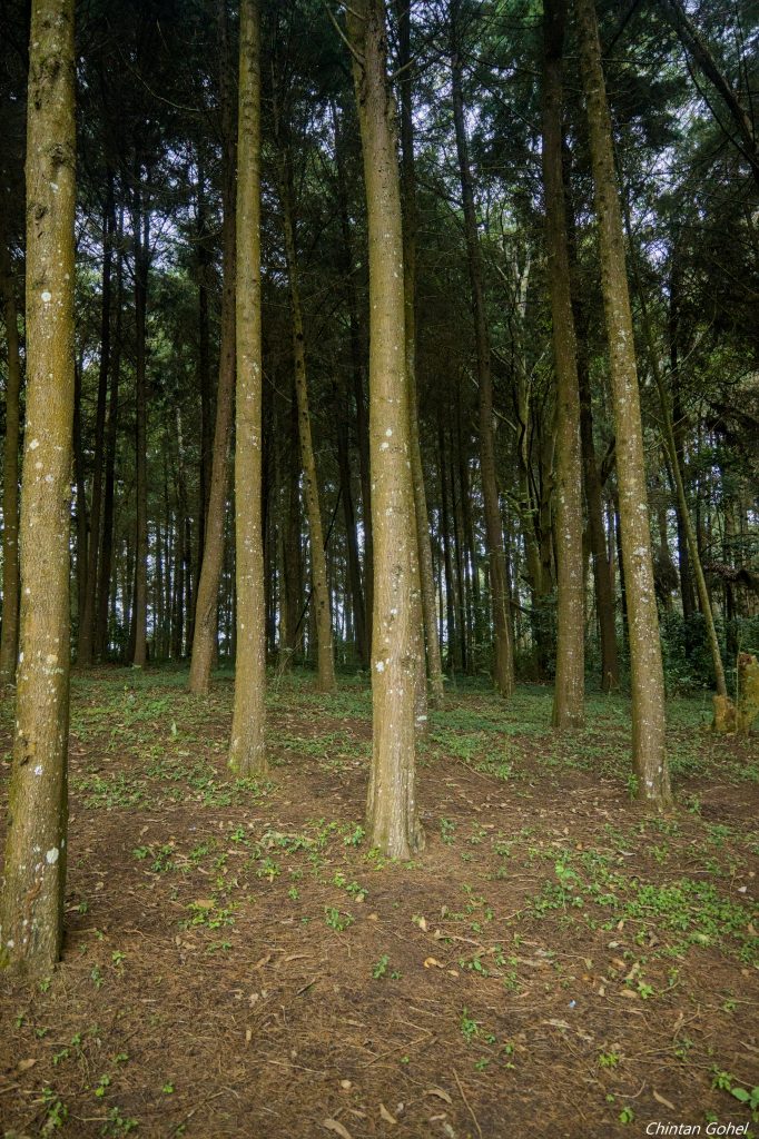
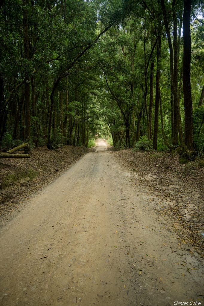
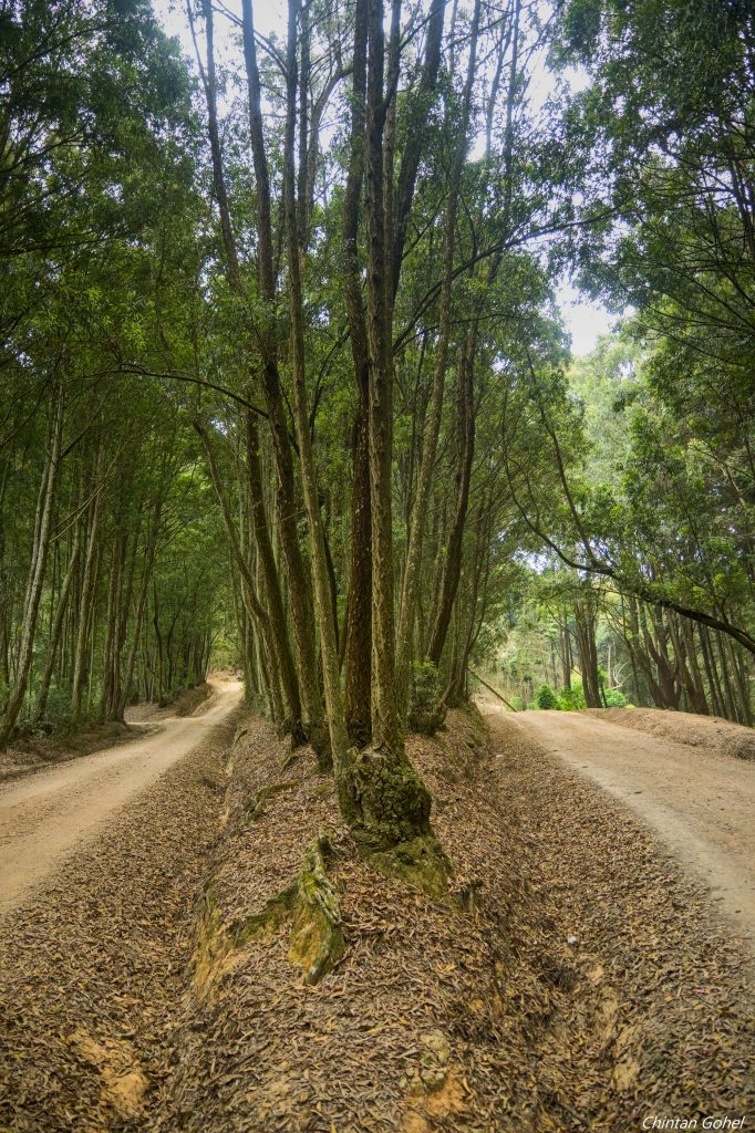
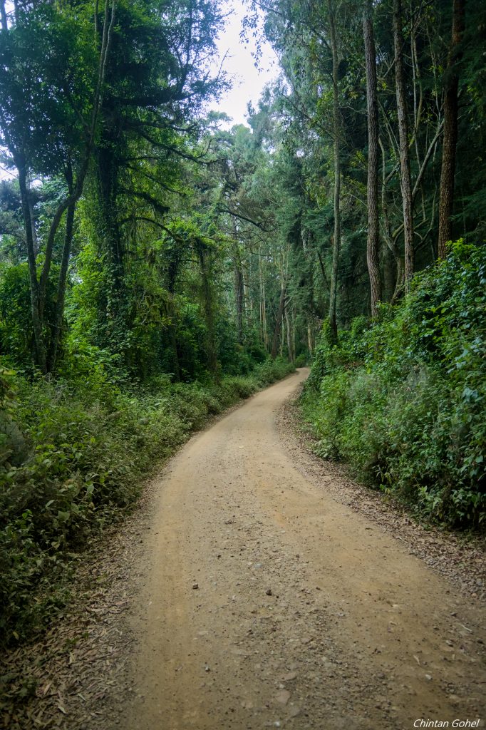
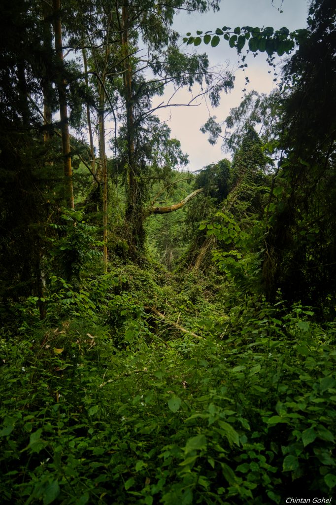
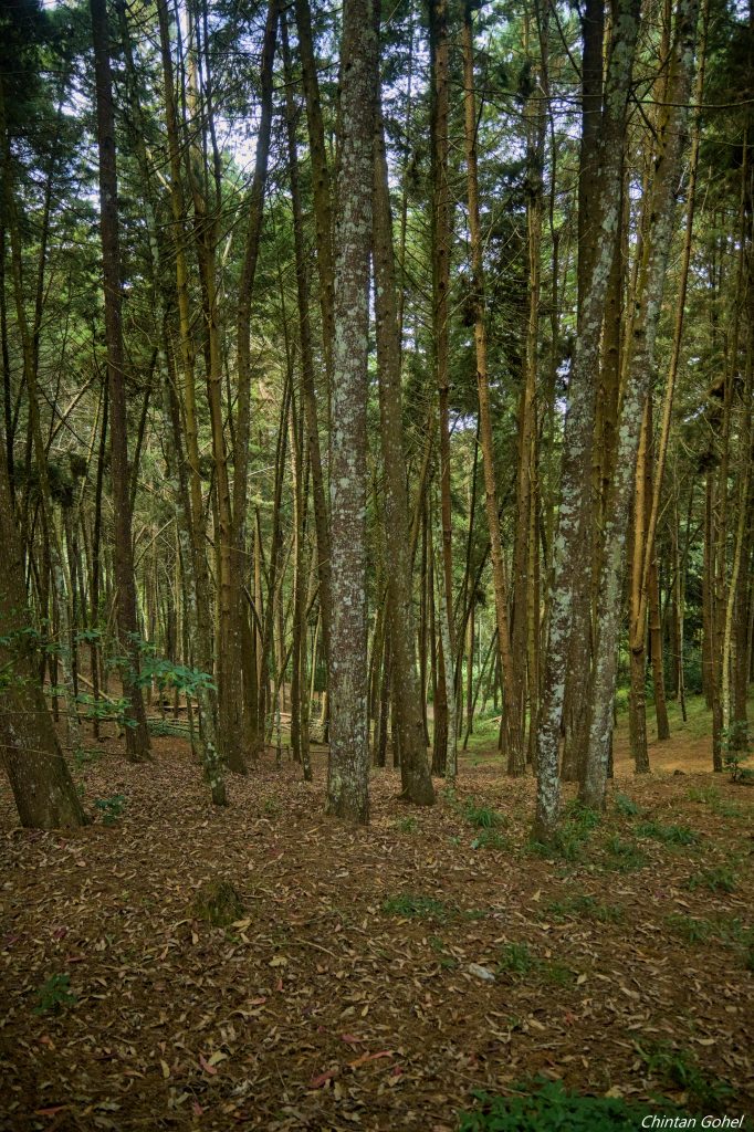
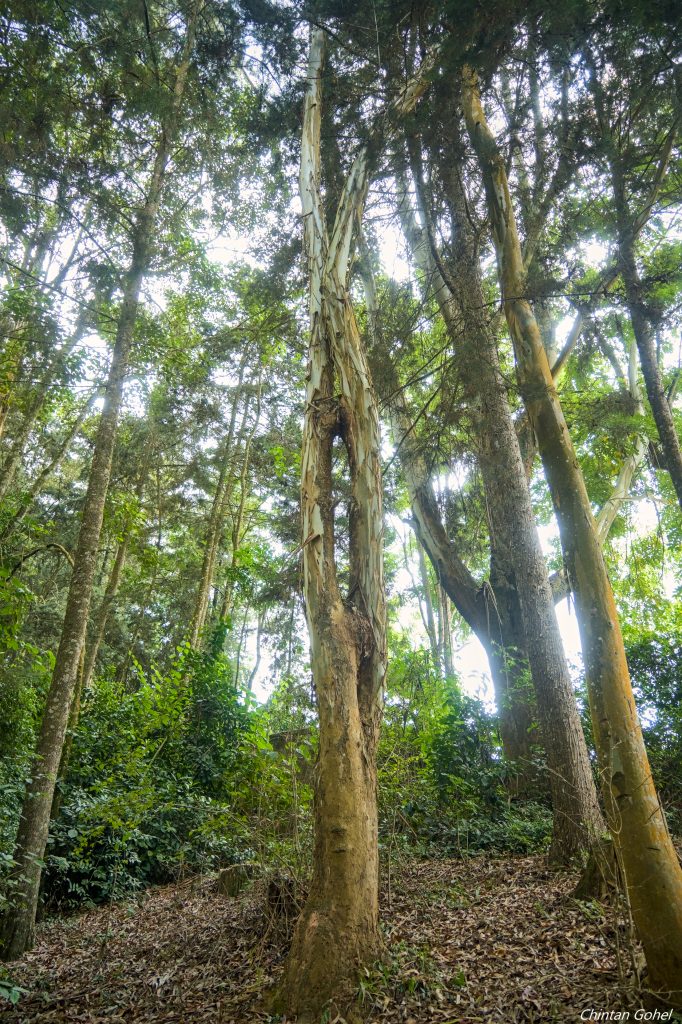
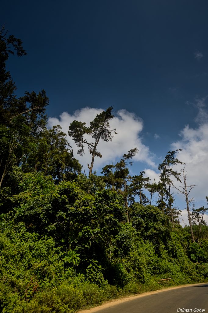
Though the start may seem dry, the forest is a wonderful and cool change, filling our eyes with emerald greenery. The highlight of this trail are the massive trees that soar to the skies above. Walking through this forest gives you a sense of the much larger range of forests long ago before colonialism
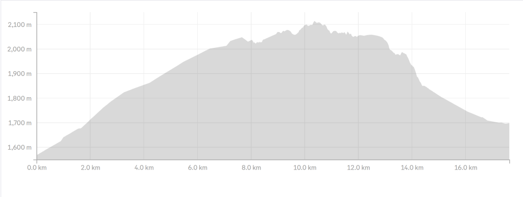
At 18-20km long, this hike falls into moderate tough category
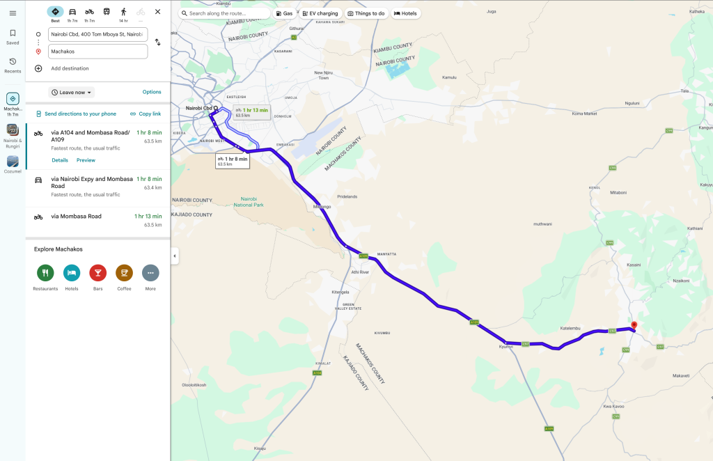
Machakos being located close to Nairobi, we expect to be there in less than 2 hours
The route is along Mombasa highway down to Kyumvi junction after which we’ll drive to Machakos town
- Hiking level – moderate difficult. Total hiking distance is around 18-20 km depending on the route. Factors contributing include the long initial climb, the final descent, moderate altitude ascent, warm weather, drier climate
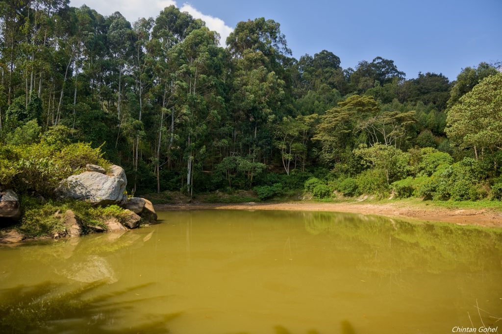
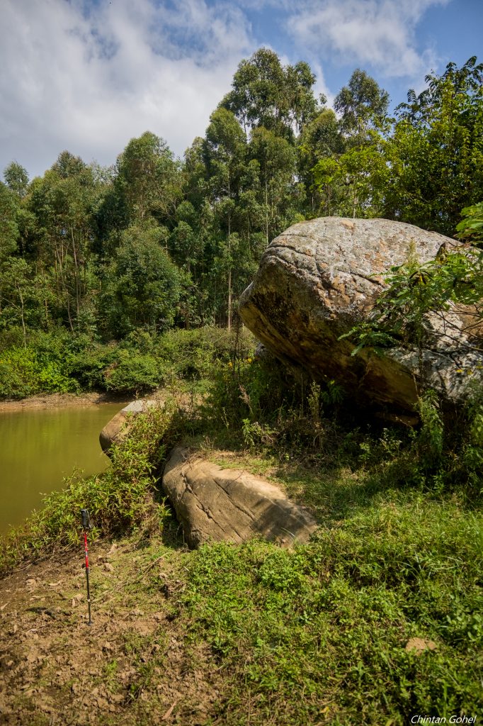
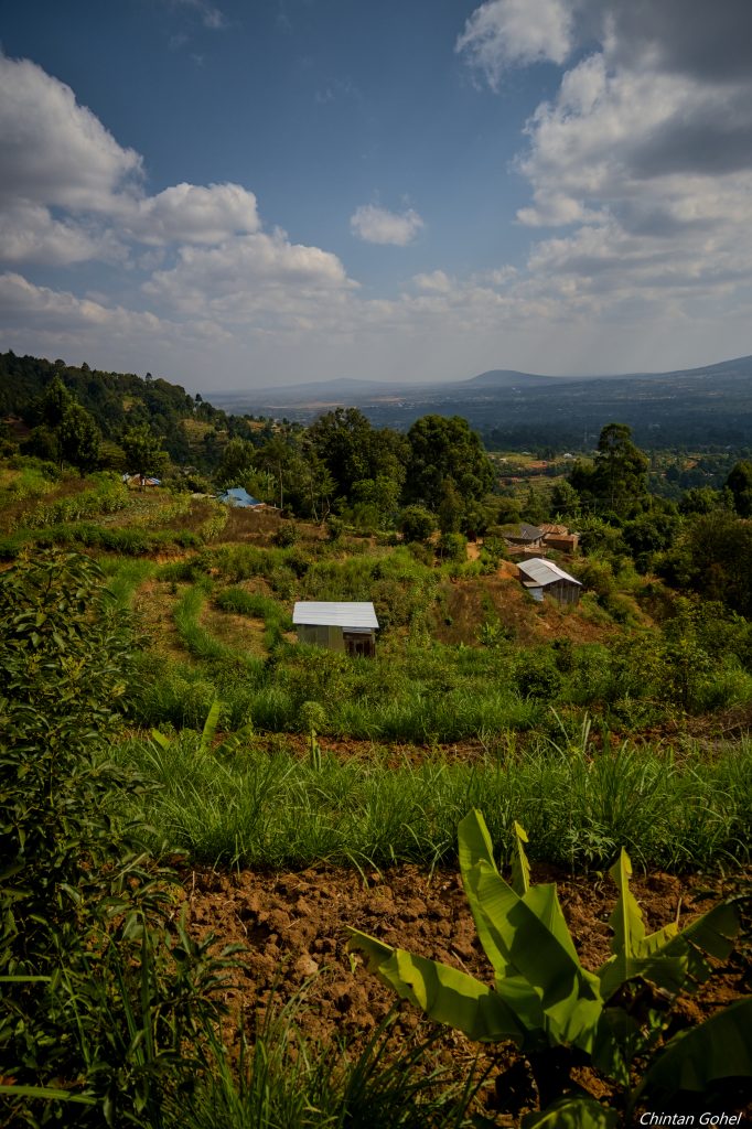
- Main attractions – The hike traverses most of the ridgeline of Katunga forest with several traverses through natural and planted forest sections. Along the way we also get to see surrounding views of the plains and hills
- Type of hike – Forest and Hill Hike, with emphasis on the hill part
- Atmospheric conditions – Tends to be very sunny, during dry seasons. Air can be warm though in the valleys it might be cool. Some parts of the trail may be dusty as well
- Slipping hazard – Average as some sections in the forest entails steep ascent and descent through rugged landscapes.
- Steepness – Total elevation change is 550m over the 20km trail. The trail has a medium gradient at the beginning and end and gentle gradient in the forest
- Hiking path condition – Mostly wide open trails, some sections can be flat while on the slopes, the trail can narrow and twist
- Water usage – Medium to high. Recommend a minimum of 3 litres because of the sunshine.
- Route visibility – Most of the trail is quite visible though we do need to stick together at some locations to avoid losing the route
- Biodiversity – Abundant birdlife, flowering plants, trees, insect life
- Good hiking boots
- Sun hat – to protect against the sun
- Water – at least 3 litres
- Snacks and lunch – we recommend you bring snacks and lunch to eat while relaxing at scenic locations along the route