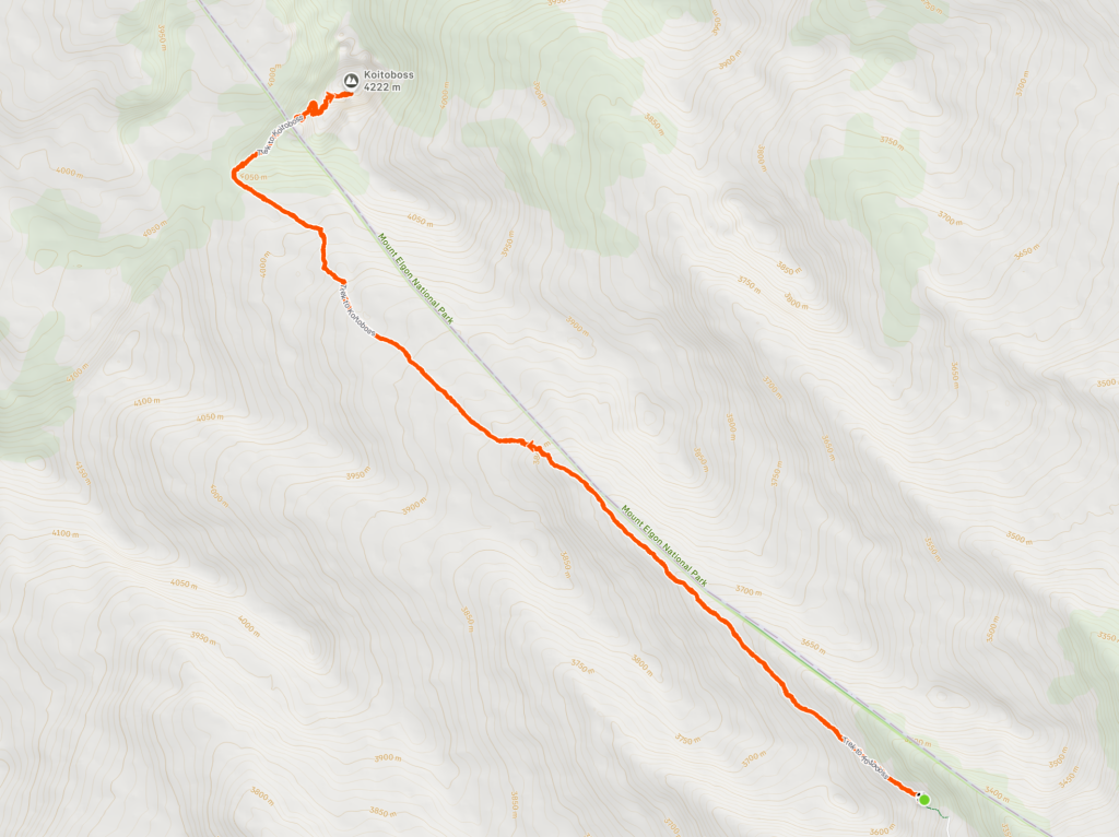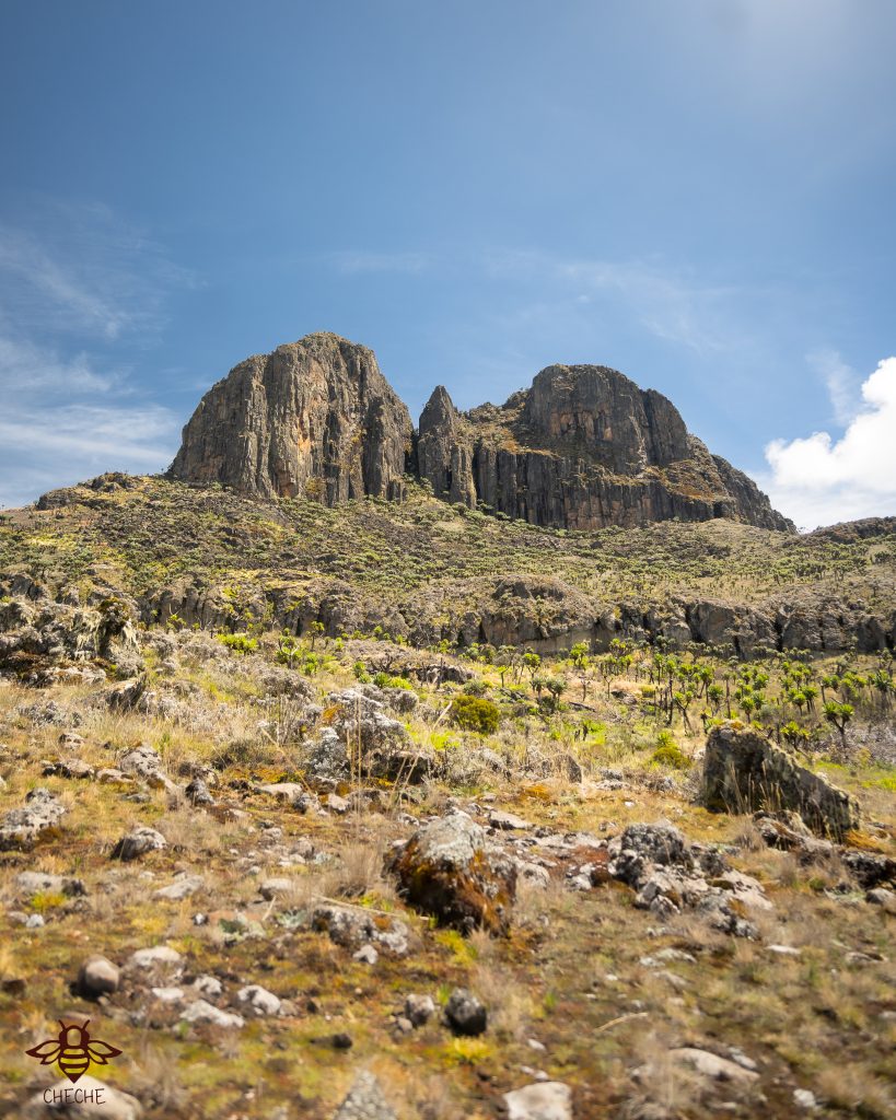
Full day trip
About 3.5 hours to the start point from Kitale
Kitale to Chorlim gate and up to Road end camp inside Mt. Elgon National Park
Difficult
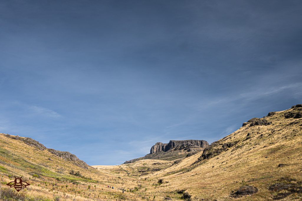
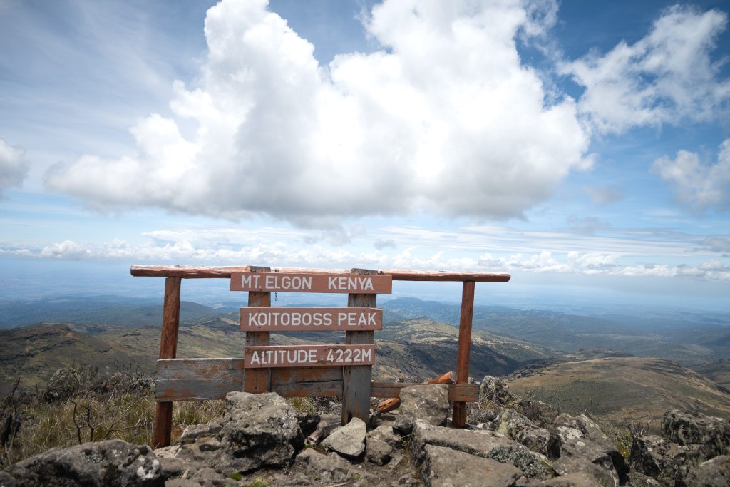
- Hiking level – Considered Challenging due to the elevation gain (850m), altitude (4222mASL) & distance covered (14km).
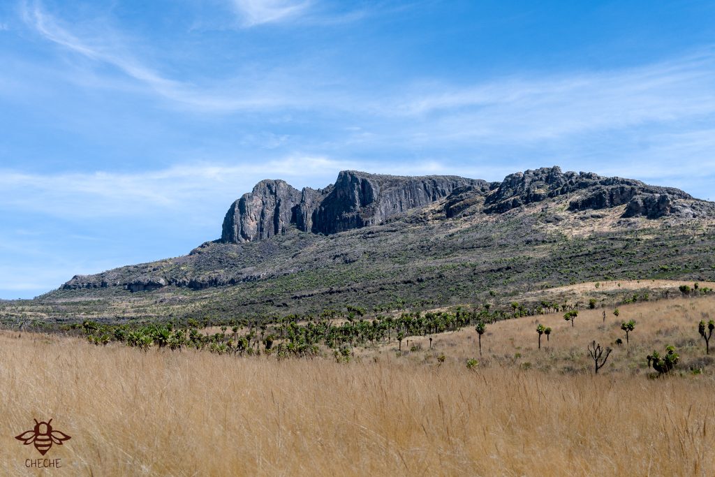
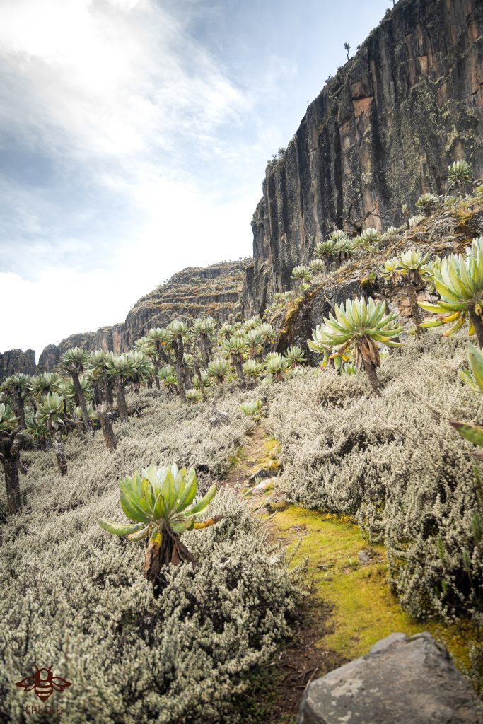
- Main attractions – wildlife, mountain, caldera & scenery.
- Type of hike – mountain hike.
- Atmospheric conditions – Weather is unpredictable due to it being in a mountainous region, expect cold & rain.
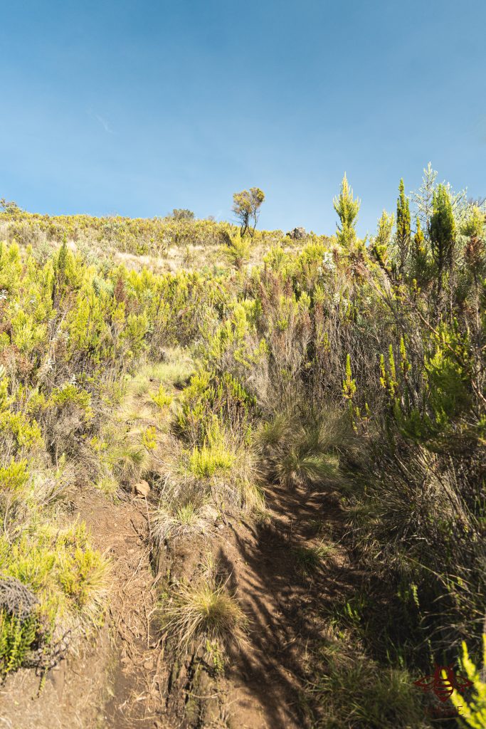
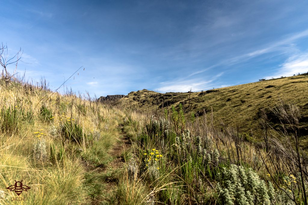
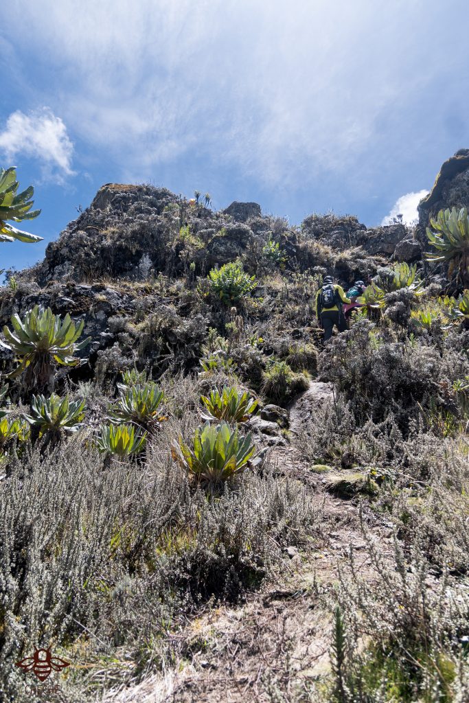
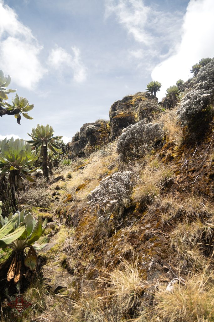
- Slipping hazard – majority of the hike is across moorland vegetation, expect a lot of mud before a steep ascent to the peak where the chances of slipping are high.
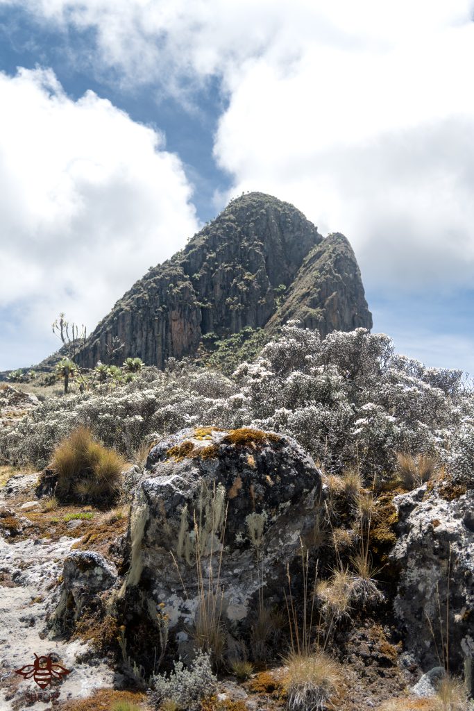
- Steepness – elevation gain is 850m, the summit push is the steepest section.
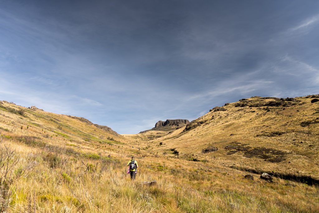
- Hiking path condition –being moorland vegetation, in the event of rain, anticipate boggy conditions. The path is narrow, single file movement is encouraged to avoid disappearing into Uganda.
- Water usage – moderate, about 2 litres should do.
- Route visibility –high visibility in sunny conditions, possibility of fog in cold/rainy weather.
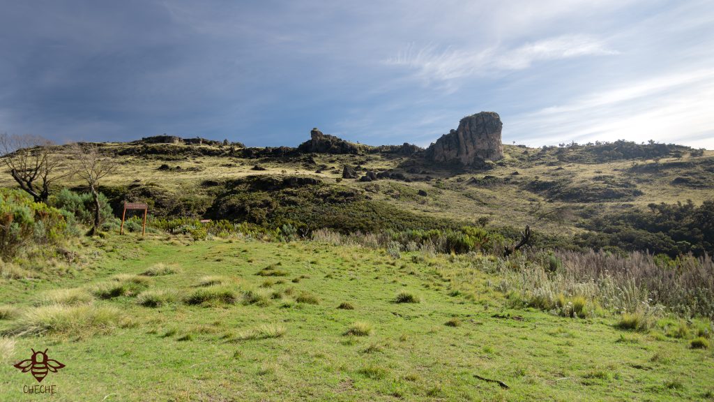
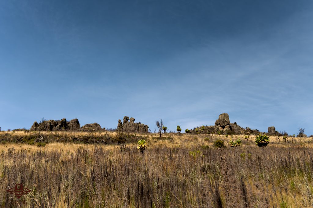
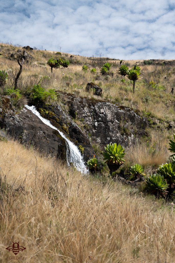
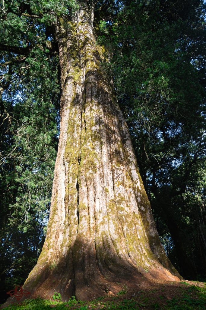
10. Biodiversity – heath & moorland vegetation, wildlife such as buffalos & impala, indigenous trees

- Good hiking boots – these are really needed due to the bog & rocky terrain.
- Trousers /long sleeved tshirts – due to the dense thickets and thorns, there are high possibilities of being scratched.
- Sun hat – to protect against the sun and overhead branches
- Gloves- it can get cold.
- Water – at least 2 litres
- Rain coat/waterproof jacket-in the event of rain.