
The hike has 3 waterfalls, swimming at one of the waterfalls, river trekking and river crossings, forest trails and long trail walks
The hike starts at Lari Hospital along the Naivasha highway and ends near Kimende Town. From the hospital, we walk into the farmlands and across various valleys where a mix of forest and farmlands will be our scenery for the day. During the hike we’ll get to see between 2-3 waterfalls and you can even swim at one of the falls which has a nice large pool. The total hiking distance is 16-19km and can be covered in less than 8 hours at a medium pace to fully enjoy the environment
It takes about 1.5 hours or so to get to the starting point. The distance to the starting point is about 50km. We’ll depart the city at 7am and we expect to be back in the city before 6pm
We’ll drive using Nakuru highway up to Lari Hospital after which we start the hike. When we come out to Kimende, we’ll meet the bus there and return using the same Nakuru highway
- Hiking level – between moderate and hard with a few steep sections. Total hiking distance is 16-19 km. Factors contributing to moderate/hard hiking experience include repeated valley descents and ascents, narrow hiking trails, long hiking distance and weather.
- Main attractions – 2 main waterfalls, forest trails, river trails, river crossings, serene environment, farmland and valley landscapes and birds
- Type of hike – forest, valley hike
- Atmospheric conditions – It’s located near Limuru and could be cold depending on the month we do the hike. Generally, expect cool to warm temperatures and moderate cloud cover
- Slipping hazard – minimal risk at the waterfalls itself and next to the streams but all other sections should be fine.
- Steepness – most sections are gently sloping. Total elevation change is almost 140m with the highest altitude being 2435m near the starting and the lowest being 2300m at the 2/3 mark
- Hiking path condition – dirt roads and then winding paths inside the forest along the river and then back to dirt paths
- Water usage – medium to high – recommend a minimum of 2-3 litre depending on weather
- Route visibility – some of the dirt roads have forks and we need to keep together generally.
- Biodiversity – numerous species of insects, birds and trees

Starting the hike

Some of the scenery during the hike as we cross valleys
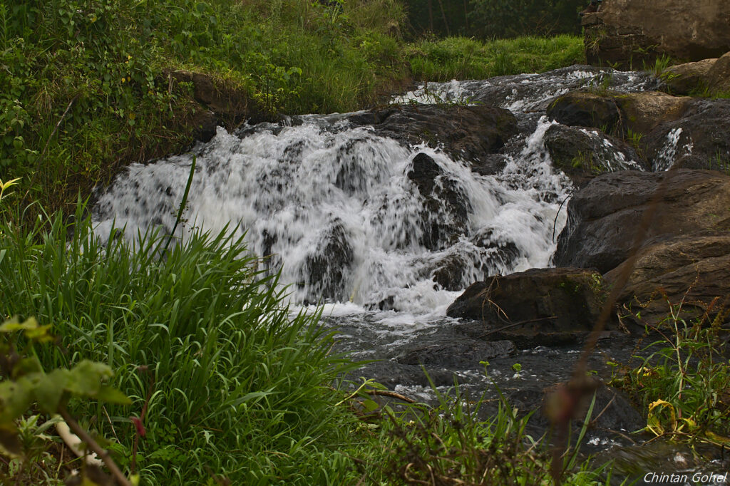
First waterfall of the day

Area around the first waterfall

Looking down at the second waterfall and the pool

Greenery after the second waterfall along the Bathi river
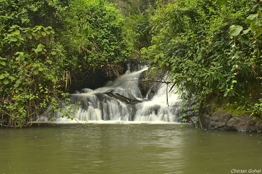
Closeup of the second Bathi waterfall


Looking at the landscape after climbing back up from the waterfall

Some tea farms we’ll pass as we continue hiking

Short river crossing

A small waterfall with its own pool

Farmland scenery

Forest scenery near the end
- Good hiking boots
- Sun hat – to protect against the sun
- Warm clothes depending on weather
- Water – at least 2-3 litres
- Snacks and lunch – since we expect to finish latest by 6pm, we recommend you bring snacks and lunch to eat while relaxing at scenic locations along the route

