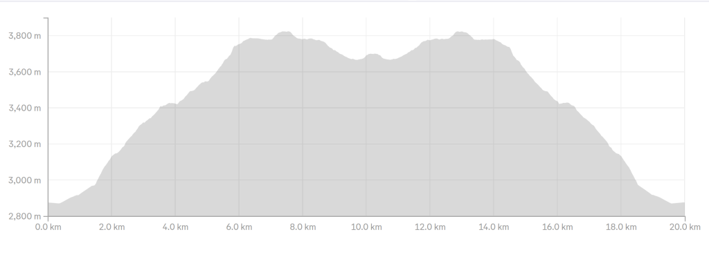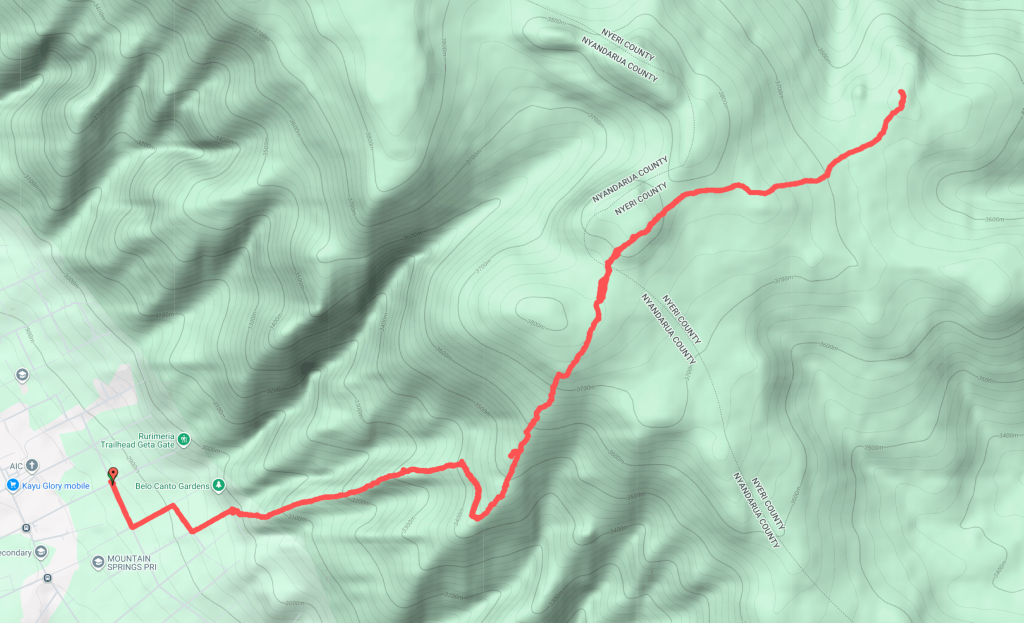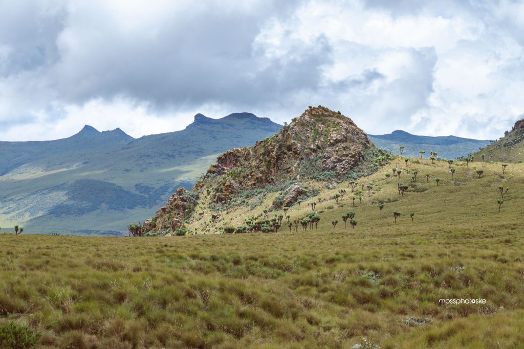
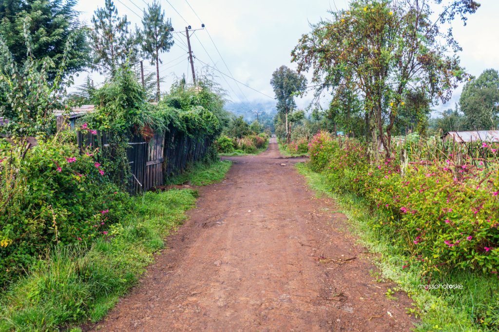
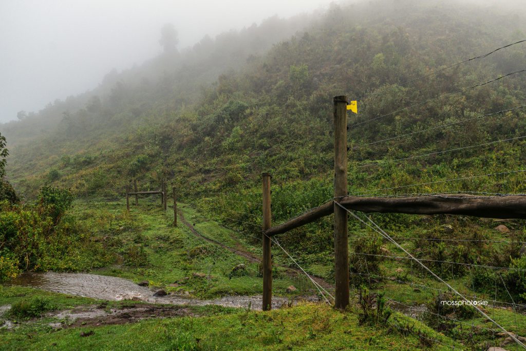
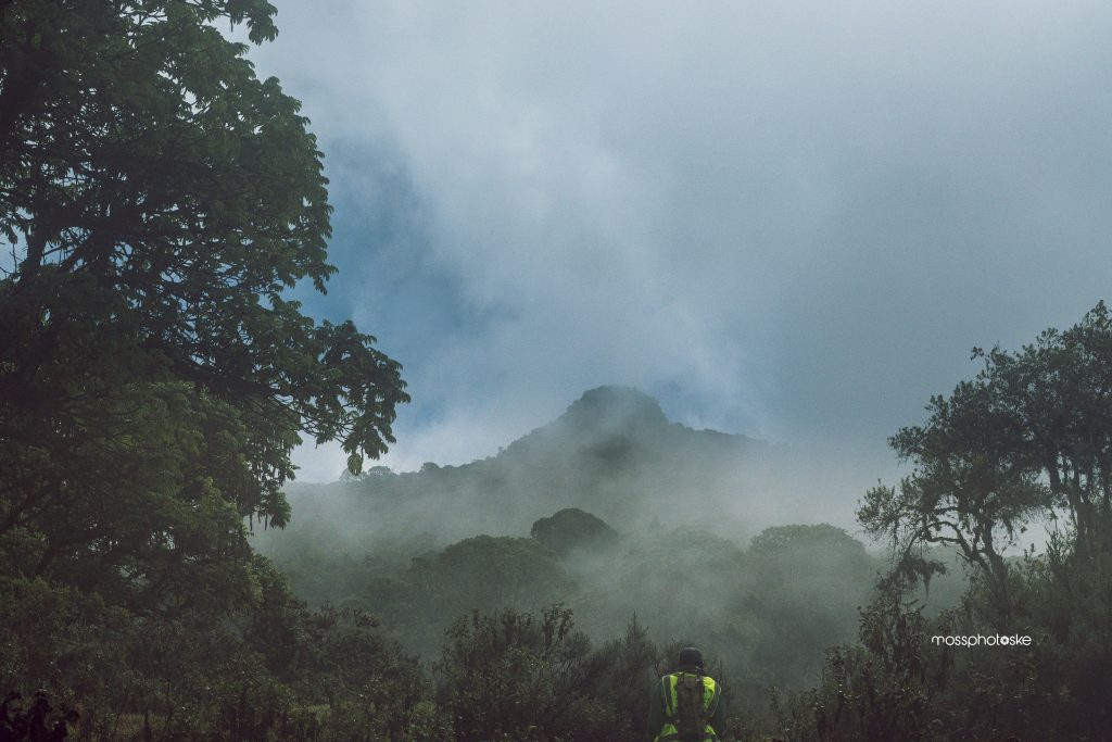
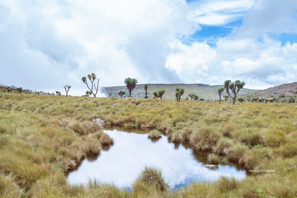
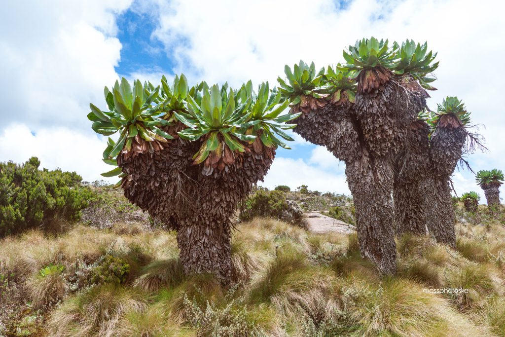
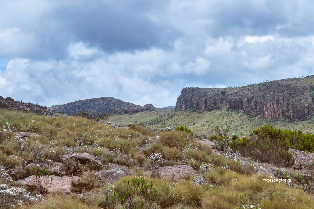
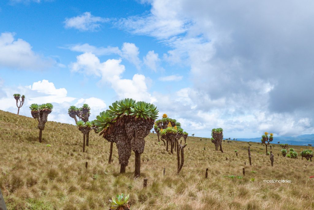
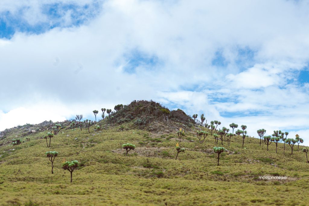
The hike starts near the Rurimeria start point dirt road but branches off to the opposite direction leading to the KWS fence. The trail then ascends steeply through short vegetation into mountain forest and tall grasses. About 4 km (≈2 hrs) in, the trail reaches Kanyundo Summit before descending into the scenic Aberdare moorlands of tussock grass, giant lobelias, boggy sections and winding trails. The route then continues across the moorland to Maratini Summit (~10 km from the start), offering wide views of Rurimeria Peak, surrounding ranges and valleys.
The hike offers a strong endurance route for those preparing for Mt Kenya and similar hiking destinations
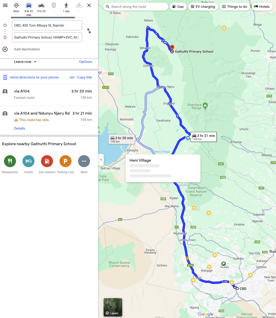
Due to the nature of the roads towards the starting point, we expect to take about 4 hours to arrive
Our route will be via Waiyaki way, through Njabini, Engineer, Ndunyu Njeru and finally to the starting point
- Hiking level – difficult. Total hiking distance is around 22km km depending on the route. The hike starts with a dramatic ascent at high altitude and alternates between moderate ascents and relatively flat sections.
- Main attractions – scenic views of Aberdares ranges, Mt. Kipipiri, moorland vegetation
- Type of hike – high altitude mountain hike in moorland vegetation
- Atmospheric conditions – cool to cold weather, chances of rain/drizzle, strong winds
- Slipping hazard – Average as some sections could be waterlogged
- Steepness – Total elevation change is 1280+ m over the 22km trail.
- Hiking path condition – narrow trails that can disappear into the bushes and grass. It’s a fairly new trail and the paths are not fully set
- Water usage – Medium to high. Recommend a minimum of 3 litres because of the distance and elevation gain
- Route visibility – we need to stick together at some locations to avoid losing the route since the paths are not well worn
- Biodiversity – highland vegetation, birds, insects and possibility of wildlife like reedbucks, dik dik etc
- Good hiking boots and a walking stick/pole
- Cold weather gear – at least 3 layers of clothes
- Neck gaiter/balaclava for cold air and mist
- At least 3 liters of water for hydration
- Snacks and lunch, as we expect to finish later in the evening
- Raincoat or waterproof jacket for sudden weather change