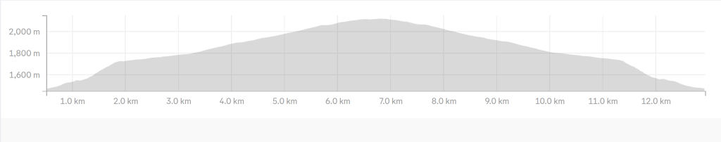
Mt. Kilimambogo (Ol Donyo Sabuk) is a popular, moderate mountain hike located about 84km from Nairobi in Ol Donyo Sabuk National Park, bordering Thika and Machakos county. This 13km hike can take 4-6 hours through thick forests, offering views of the Fourteen Falls, Athi River, and sometimes Mount Kenya. It features a 650m elevation gain, with options for a steep, rocky footpath or a gradual dirt road, often featuring sightings of abundant birdlife, buffalos, bushbucks, and colobus monkeys. The highest point is 2,145m.
Full day trip
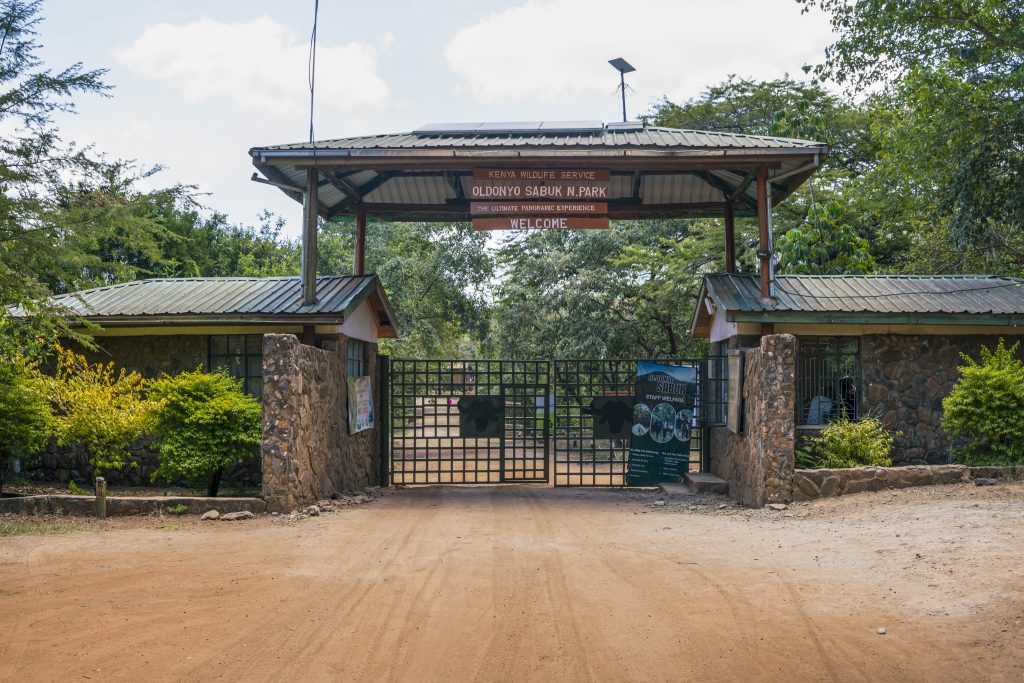
Being located about 70km from Nairobi, we expect to take about 2 hours to get to the park gate

Moderate
- Hiking level – moderate. Total hiking distance is around 13-19 km depending on the route. Factors contributing include general flat terrain and gentle slope in some sections, steep descents and climbs through rugged landscapes, moderate altitude ascent, normal weather though it might be tricky during the dry seasons, because it really gets hot.
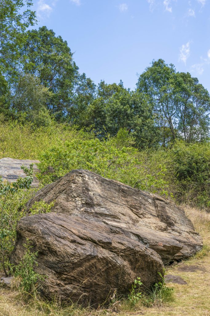
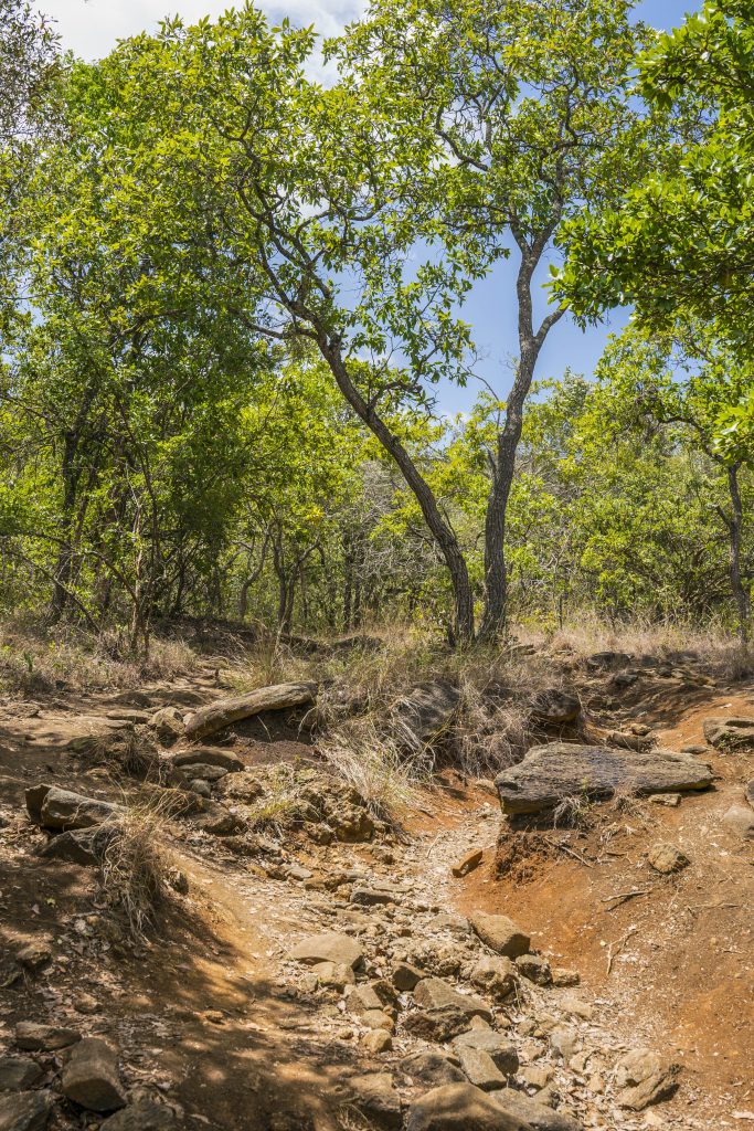
- Main attractions – The hike involves trekking up a dirt road or, for a more challenging route, a steep, direct foot trail through a dense, indigenous forest while viewing the forest scenery, a boulder rock nice for photo backdrop and animals once in a while.
- Type of hike – Beginner (if using the entire road) to moderate (if including the rugged steep ascents hike.
- Atmospheric conditions – Tends to be very sunny, during dry seasons.
- Slipping hazard – Average as some sections in the forest entails steep ascent and descent through rugged landscapes. When it rains, caution ought to be observed because the soil might be slidy.
- Steepness – Total elevation change is 650m over 13-19km on a rugged slope.
- Hiking path condition – Road stretch, dusty, concrete and wide path inside the forest trail.
- Water usage – Medium to high. Recommend a minimum of 2 litres because of the sunshine.
- Route visibility – The trail starts out with a visible road path that gets dusty all through until a kilometre to the summit where it’s concreted. If you opt to use the shortcut at the lower which entails going inside the forest, it entails a wide path.
- Biodiversity – Abundant birdlife, buffalos, bushbucks, colobus monkeys, and diverse plantation.


- Good hiking boots, running or trainer shoes.
- Sun hat – to protect against the sun/rain gear to protect against rain.
- Water – at least 2 litres
- Snacks and lunch – since we expect to start at 6.00/6.30am and finish latest by 5pm, we recommend you bring snacks and lunch to eat while relaxing at scenic locations along the route