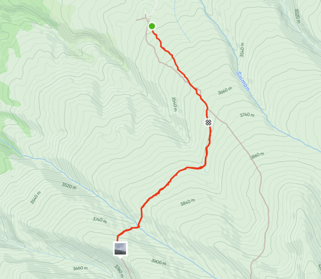
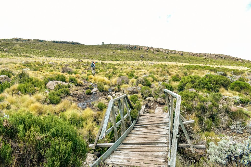
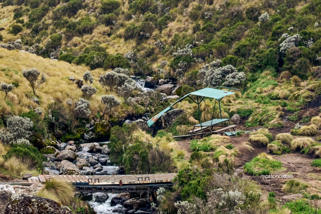
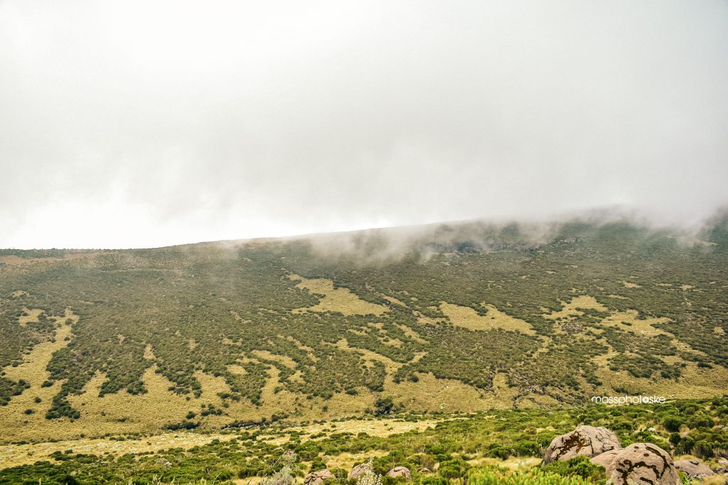
The Likki View Point hike offers an exhilarating one-day Mount Kenya adventure, providing hikers with both stunning views and a true test of endurance. Situated along the Sirimon route, the trek begins at Old Moses Camp, located 9 kilometers from Sirimon Gate at an altitude of 3,300 meters above sea level. The 15 kilometer trail leads through moderate rocky terrain and marshy moorland, crossing two rivers before the final ascent to the Likki View Point—undoubtedly the highlight of the trek. On a clear day, hikers are rewarded with breathtaking views of Mt. Kenya’s Batian and Nelion peaks, along with the scenic Likki 2 River below. The entire hike typically takes 6-8 hours
The hike is to and fro where the start and end points are Ole Moses camp.
Hike researched and photographed by Njoroge Moss in June 2024
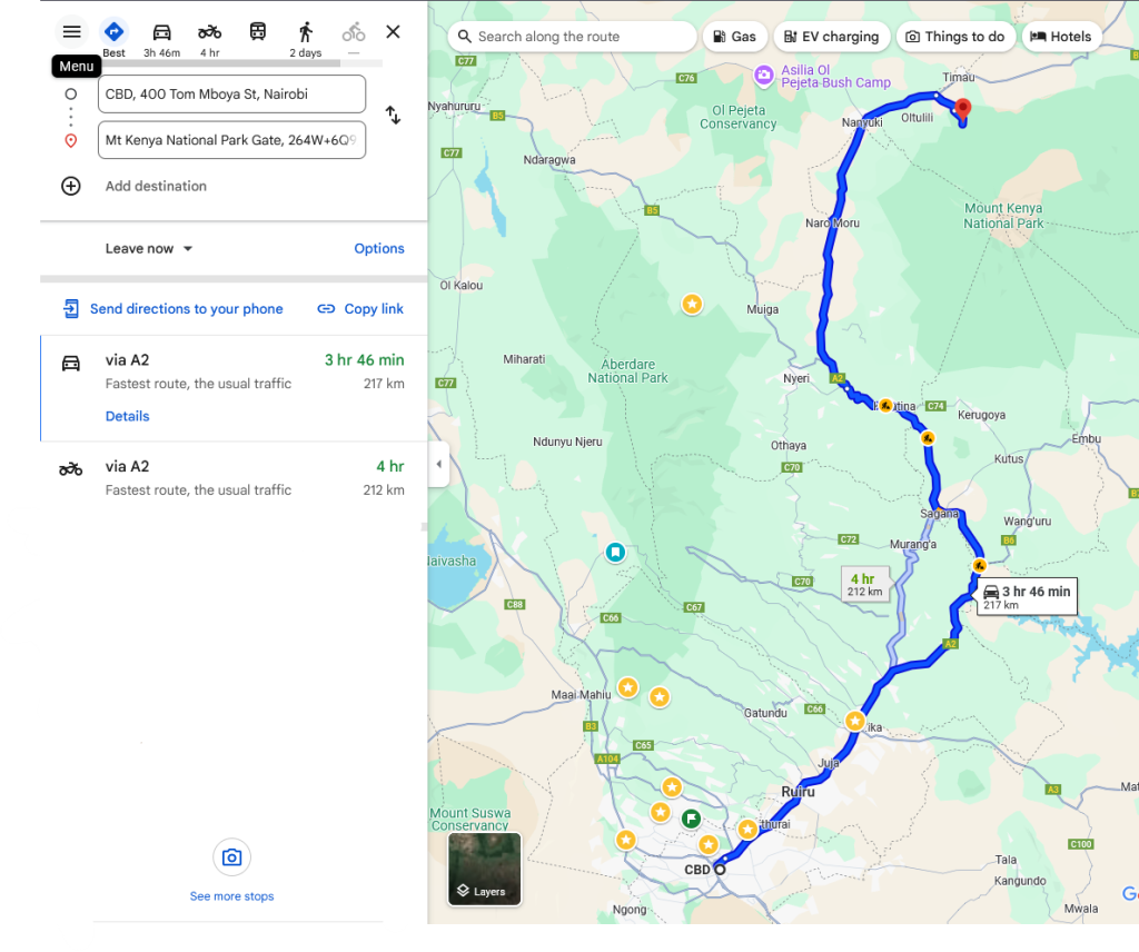
Due to the long driving route, it may take us 4.5 to 5 hours to arrive at the starting point
We’ll be using Thika highway followed by Nyeri Nanyuki highway and then drive up to Moses camp through Sirimon gate
- Hiking Level – Strenuous. The 12.8km hike is challenging due to marshy moorland, rocky paths, high altitude, cold and unpredictable weather, and lower atmospheric oxygen.
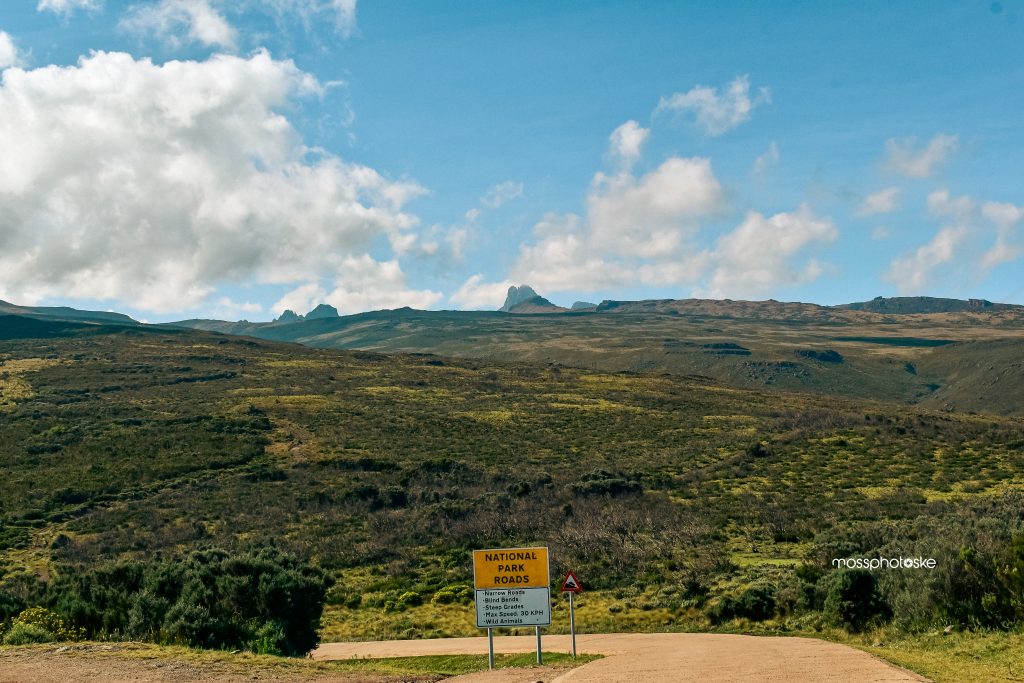
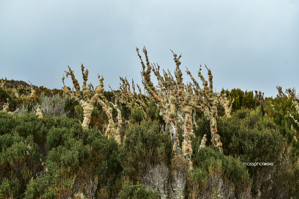
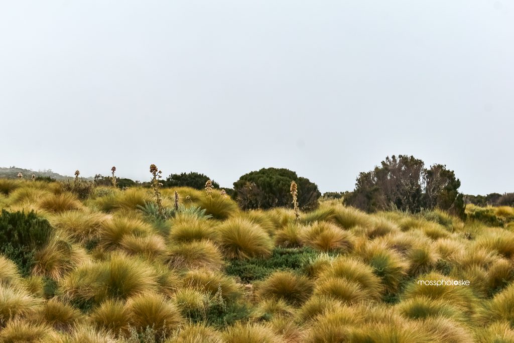
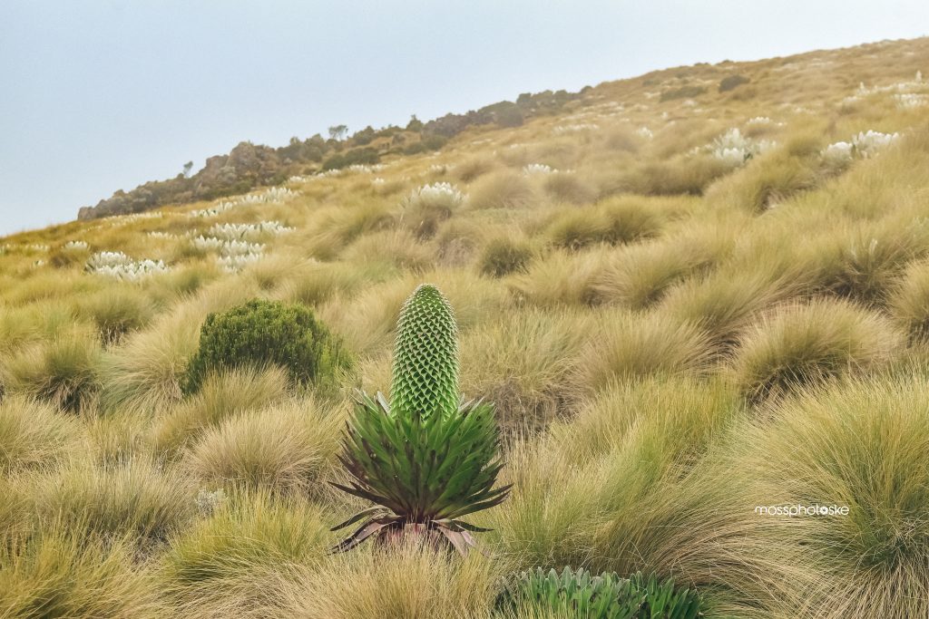
- Main Attractions – Mt. Kenya’s peaks, valleys, high-altitude vegetation, and wildlife sightings such as waterbucks, zebras, elands, moorland chats, and even the mesic four-striped grass rat.
- Type of Hike – High altitude mountain hike.
- Atmospheric Conditions – Expect cold, foggy, wet, or cloudy weather.
- Slipping Hazards – Minimal except when crossing marshy moorland or descending toward the second river
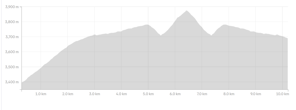
- Steepness – Total elevation gain of 645m over 6.4km, with several steep sections, particularly near the second river and toward the viewpoint.
- Trail Conditions – Wide paths from Old Moses Camp to Likki North junction, then narrowing to single-file trails through wet, marshy, and rocky areas.
- Water Needs – Medium to high. It’s recommended to carry at least 3 liters, depending on the weather.
- Route Visibility – The trail is generally visible but unmarked. Be mindful of the split at Likki North & Shipton route junction.
- Biodiversity – Expect to encounter a variety of insects, birds, and high altitude vegetation along the route
- Good hiking boots and a walking stick/pole
- Sun hat for sun protection
- Neck gaiter/balaclava for cold air and mist
- At least 3 liters of water for hydration
- Snacks and lunch, as we expect to finish later in the evening
- Raincoat or waterproof jacket for sudden weather change