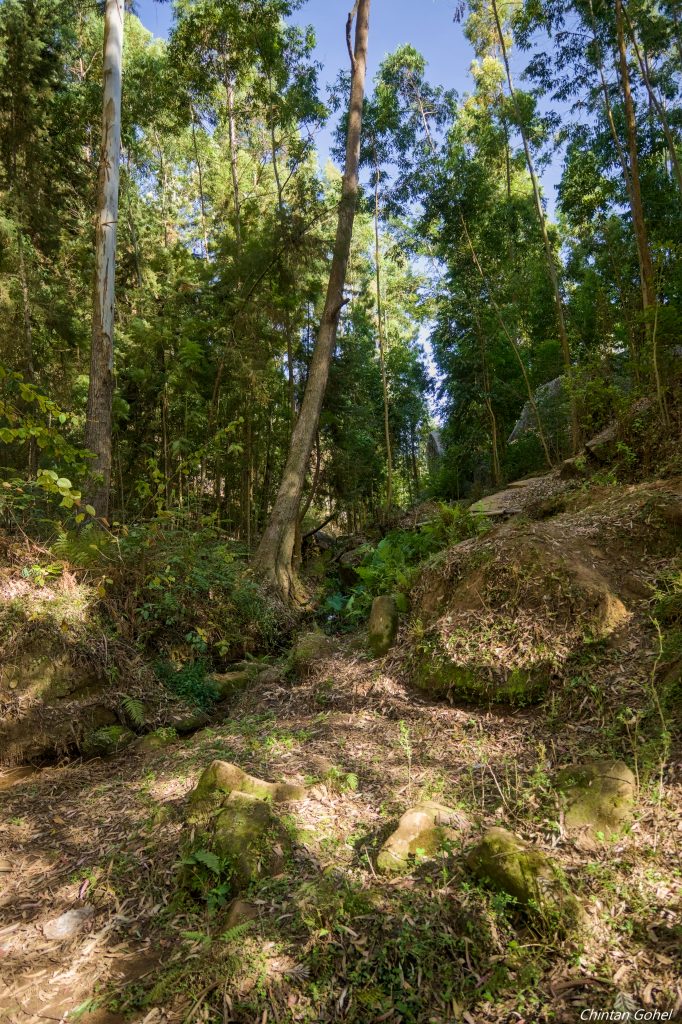
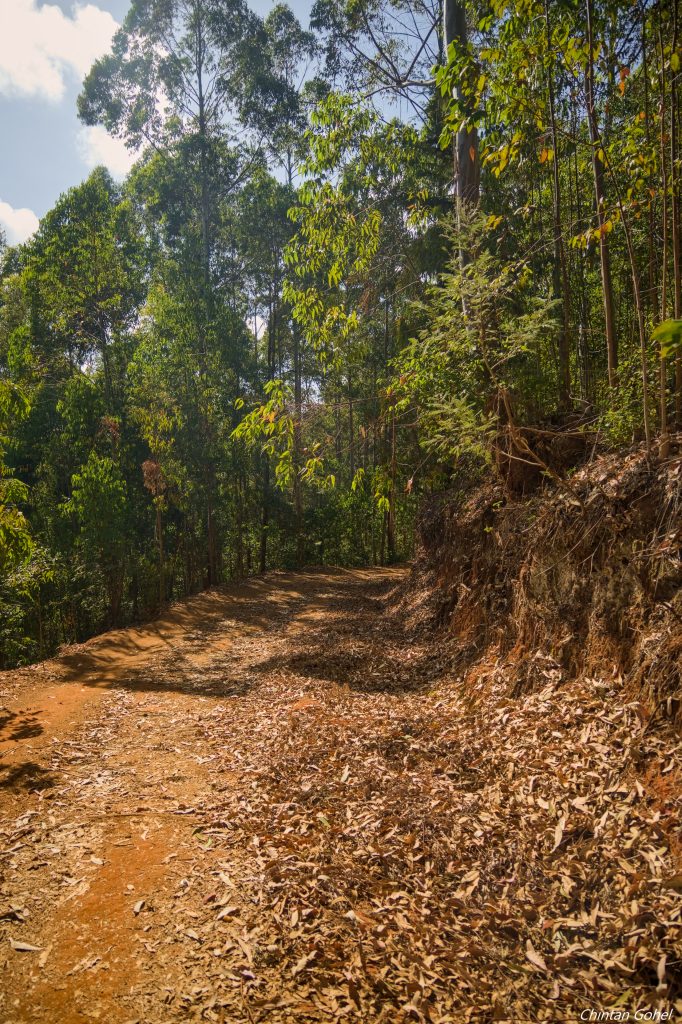
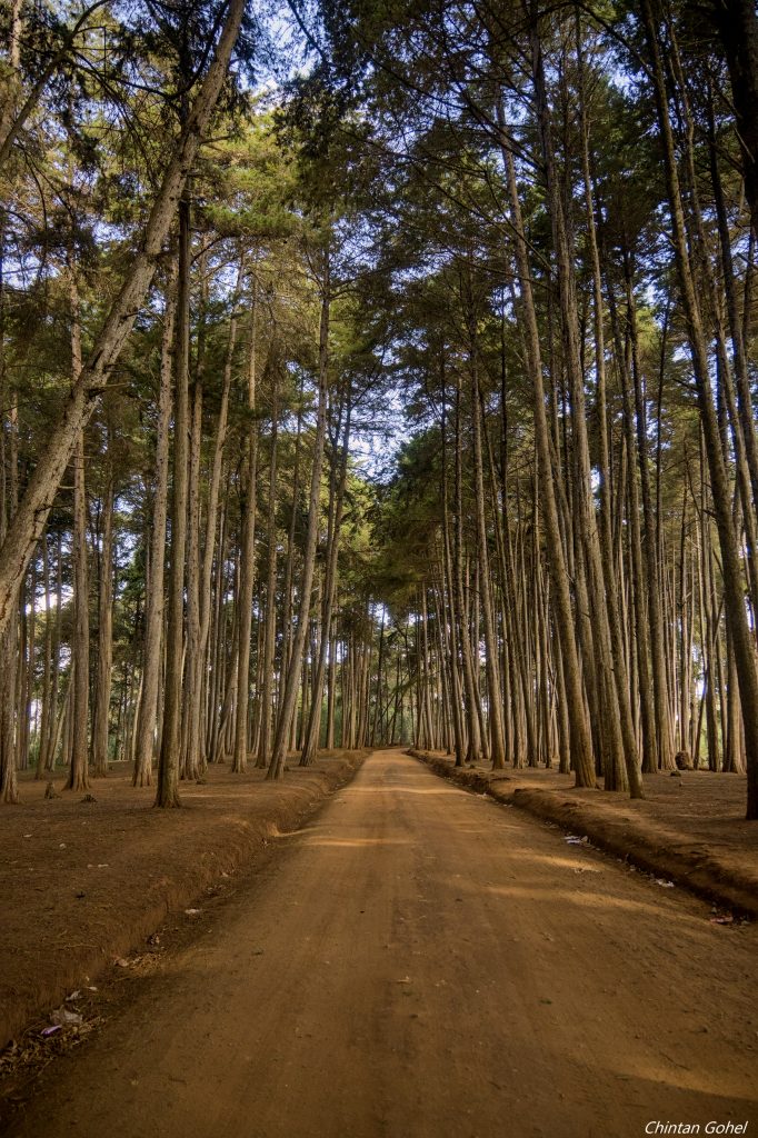
Mbooni Forest, or also known as Kivale Forest is one of several forests that adorn the hills of Makueni and Machakos counties. Parts of the forests have been replanted but some remnants of the original forest cover remain, bringing forth a look that shows the work of hands of mankind
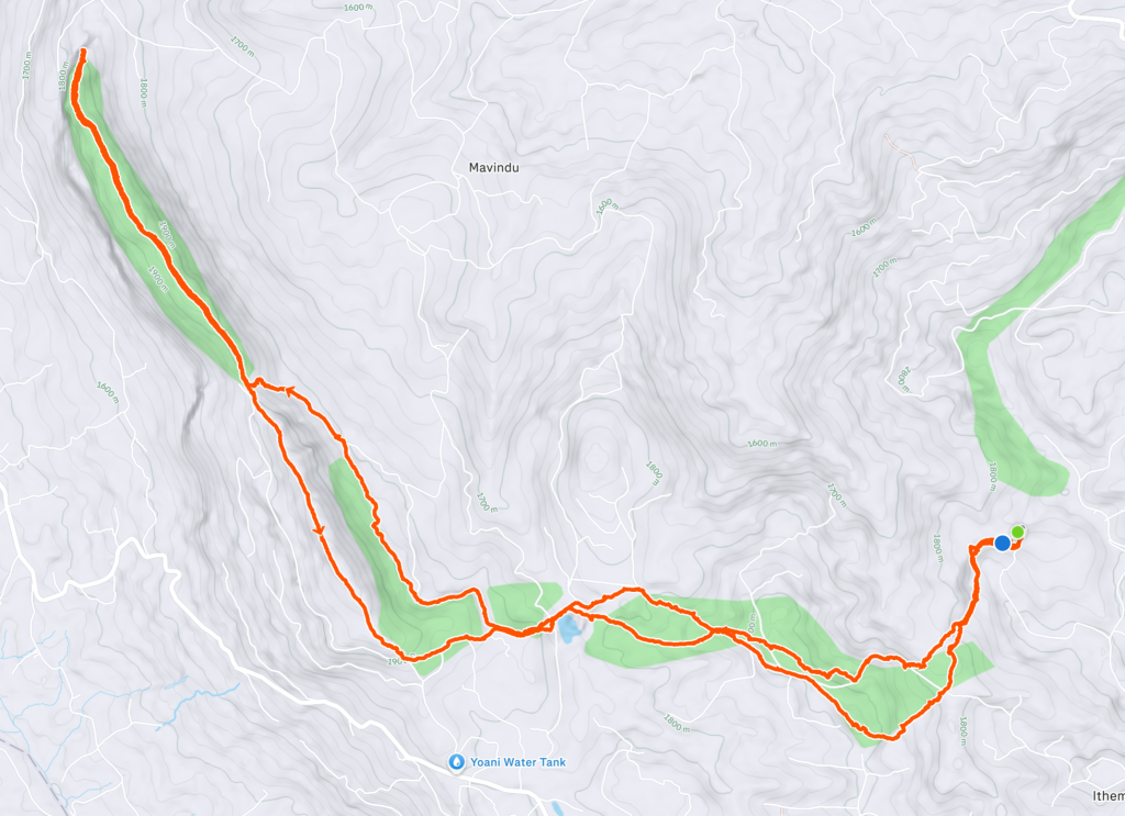
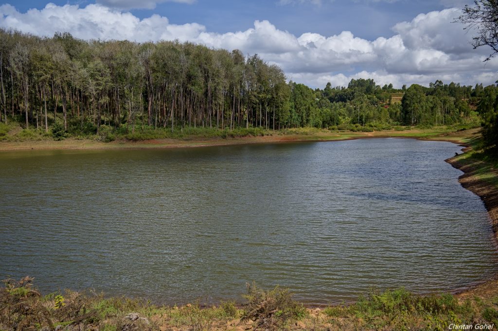
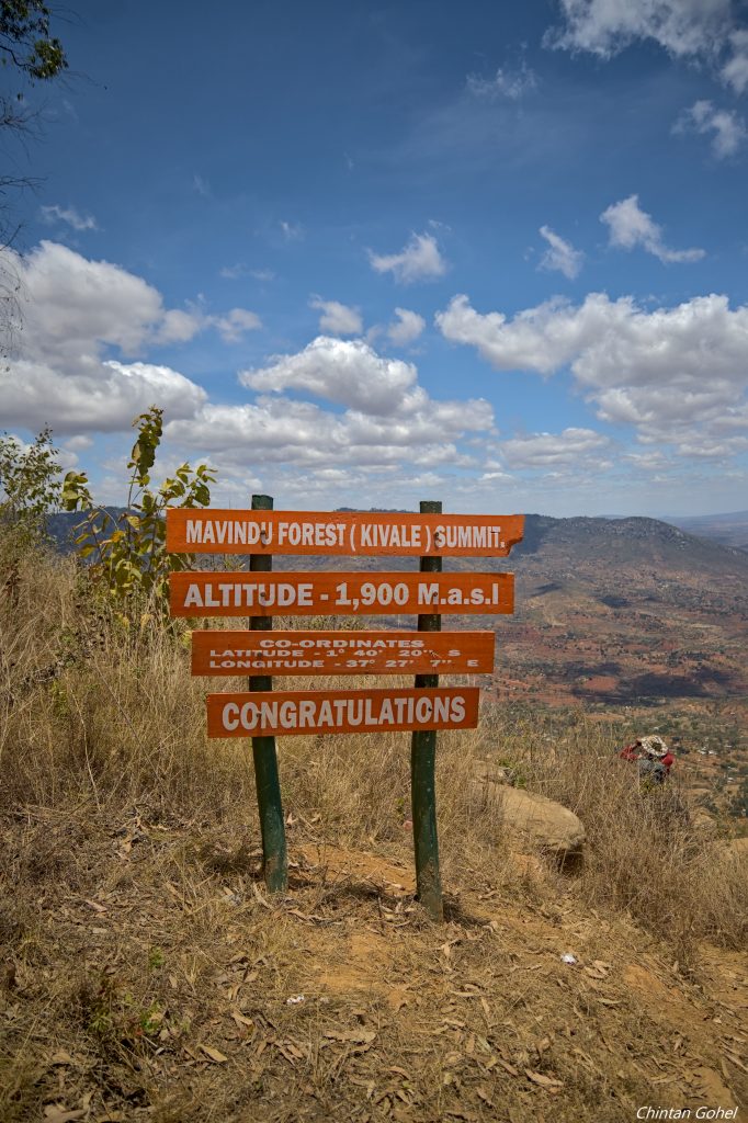
Our trail follows a gently sloping open trail that crosses next to a dam before getting into the ridge line of the hills. The descents and ascents start to become regular and after a few hours of this, we finally reach Mavindu summit at 1900m ASL
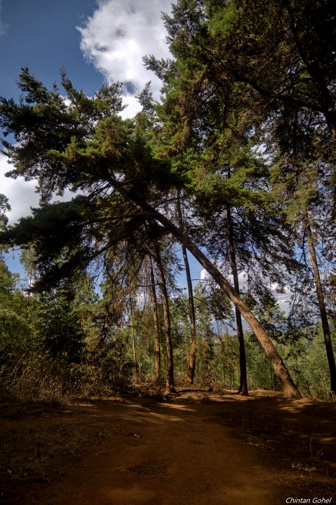
The highlight of this trail are the massive trees that soar to the skies above. Walking through this forest gives you a sense of the much larger range of forests long ago before colonialism
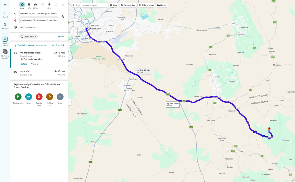
The starting point is at Kivale Forest station which lies in Makueni County, roughly 100km from Nairobi. The road to the forest is generally okay though the last section may not be graded well
We expect to take between 2.5 to 3 hours to get to the starting point depending on traffic and condition of the road
We’ll be using Mombasa Highway up to the Kyumvi junction after which we’ll take the Makutano Kitui road, pass through Machakos and onto Kivale Forest Station
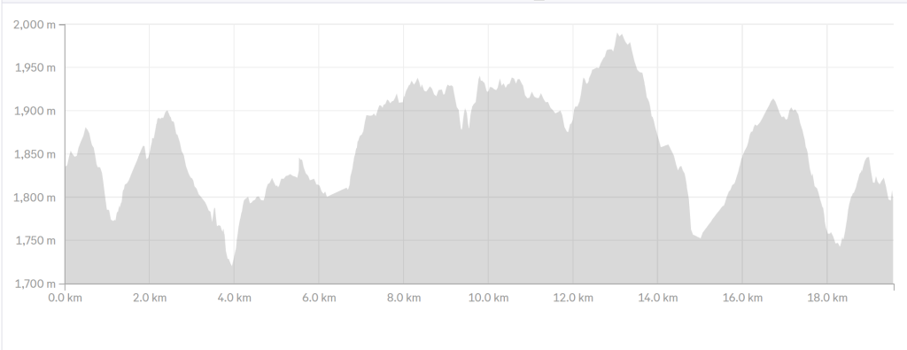
- Hiking level – moderate difficult. Total hiking distance is around 20 km depending on the route. Factors contributing include frequent climbs and descents, moderate altitude ascent, warm weather, drier climate
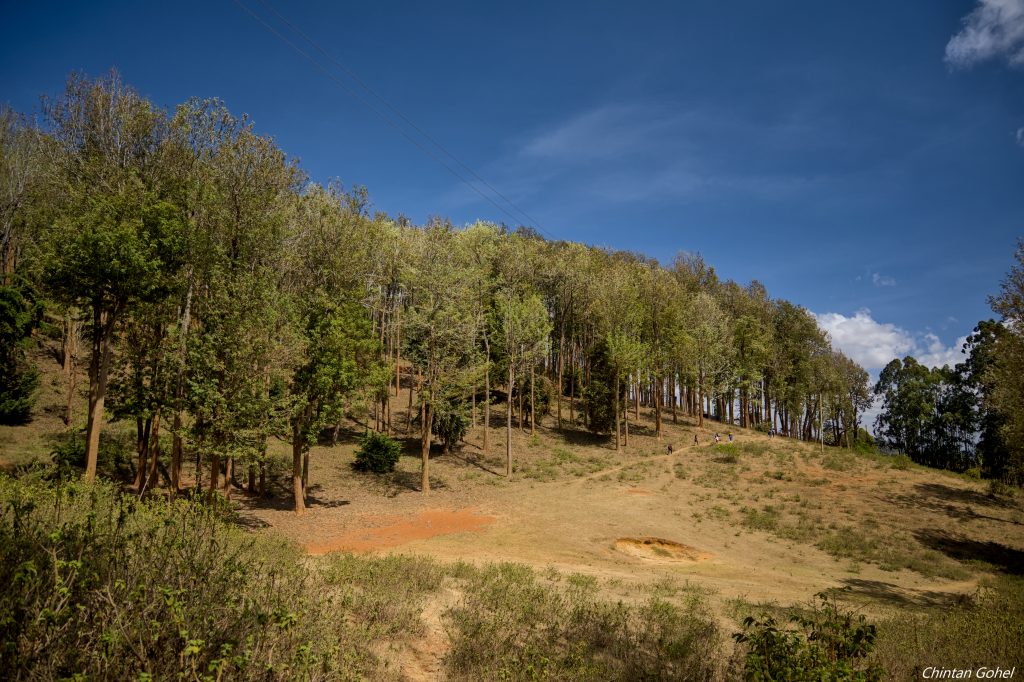
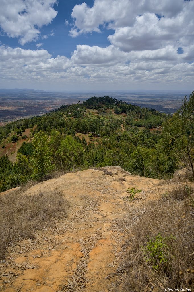
- Main attractions – The hike traverses most of the ridgeline of Mbooni forest with several climbs through natural and planted forest sections. Along the way we also get to see the local dam and surrounding views of the plains and hills
- Type of hike – Forest and Hill Hike, with emphasis on the hill part
- Atmospheric conditions – Tends to be very sunny, during dry seasons. Air can be warm though in the valleys it might be cool. Some parts of the trail may be dusty as well
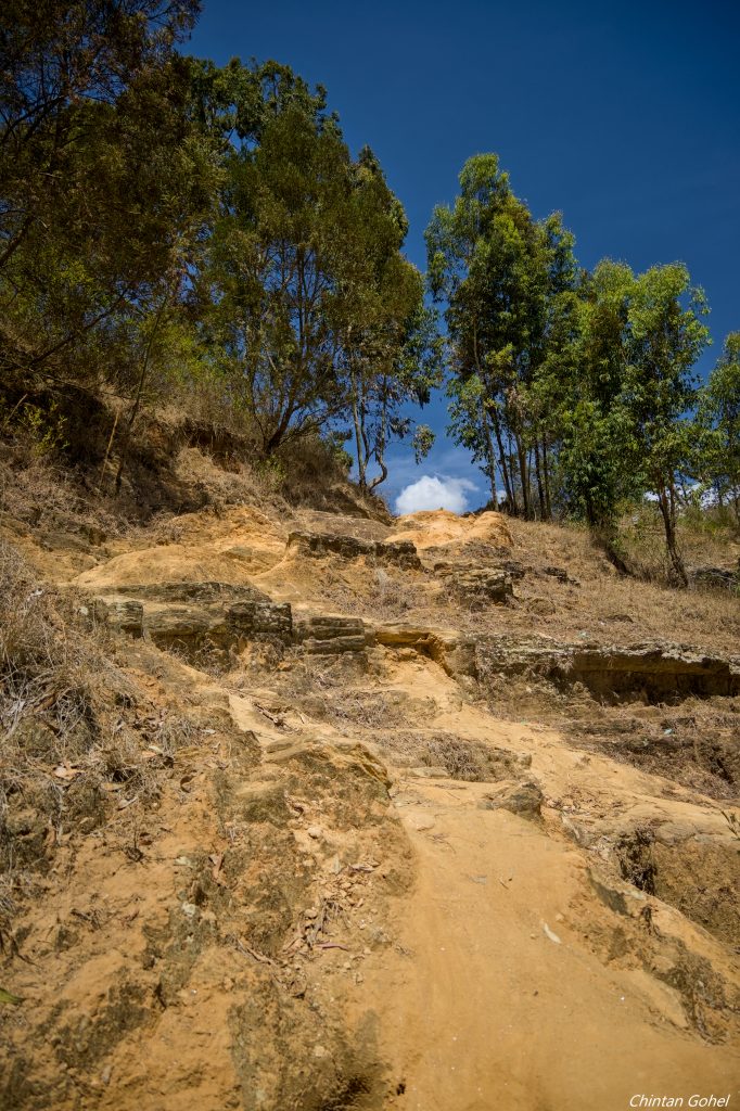
- Slipping hazard – Average as some sections in the forest entails steep ascent and descent through rugged landscapes.
- Steepness – Total elevation change is 850m over the 20km trail. Individual elevation changes vary from 50m to as much as 160m
- Hiking path condition – Mostly wide open trails, some sections can be flat while on the slopes, the trail can narrow and twist
- Water usage – Medium to high. Recommend a minimum of 3 litres because of the sunshine.
- Route visibility – Most of the trail is quite visible though we do need to stick together at some locations to avoid losing the route
- Biodiversity – Abundant birdlife, flowering plants, trees, insect life
- Good hiking boots
- Sun hat – to protect against the sun
- Water – at least 3 litres
- Snacks and lunch – we recommend you bring snacks and lunch to eat while relaxing at scenic locations along the route