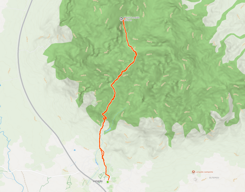
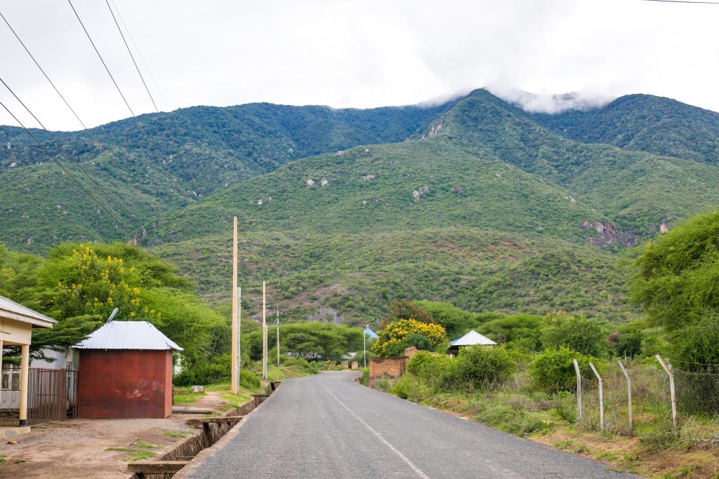
Mount Longido is a scenic hard hike located in the northern part of Tanzania, which is a short drive from the Kenya – Tanzania border near Namanga.
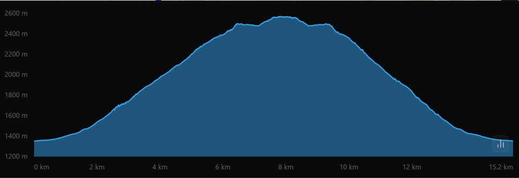
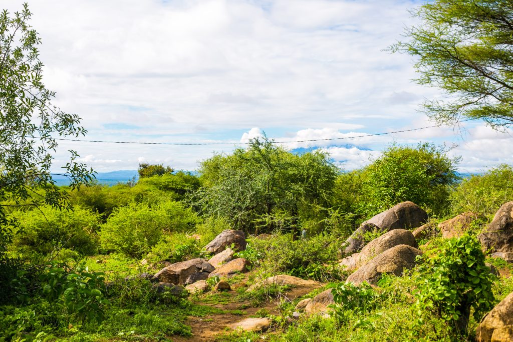
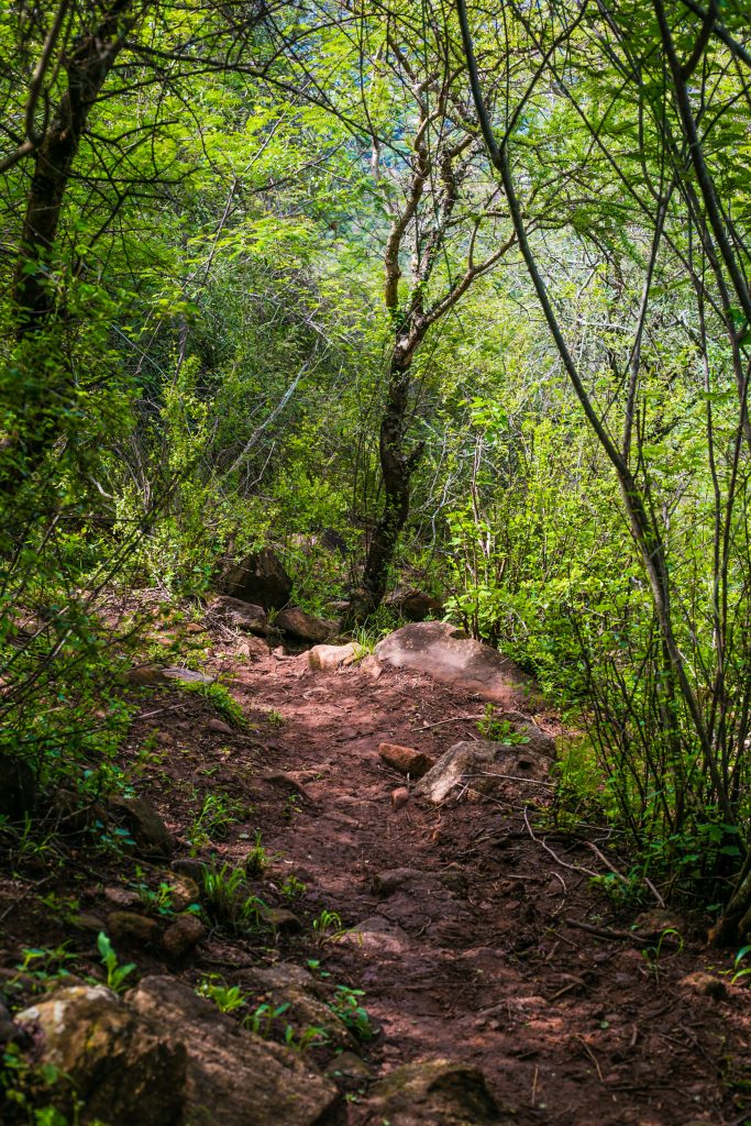
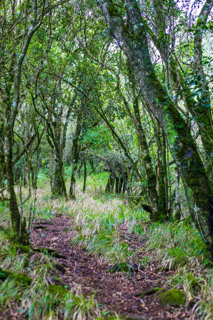
It begins on the road for a little bit then transitions into dry bushland and gradually transitions into a lush montane forest as you ascend. Standing at around 2,630M above sea level, it features around 1300M elevation gain.
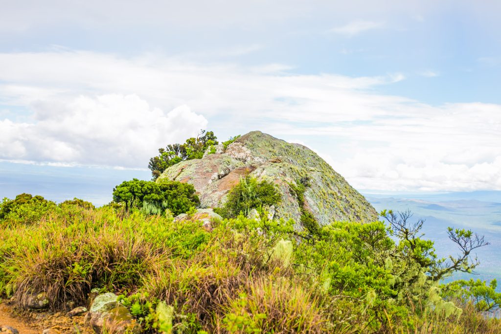
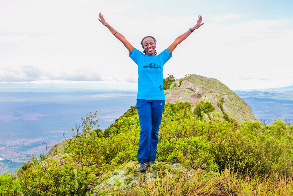
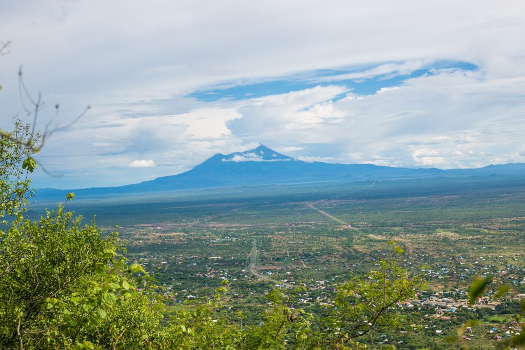
The mountain offers rewarding panoramic views of the surrounding plains, and on clear days, hikers can catch glimpses of Mount Meru or Mt. Kilimanjaro in the distance. Along the way, you may encounter wildlife such as colombus monkeys, various bird species, and small antelopes, adding to the overall natural experience
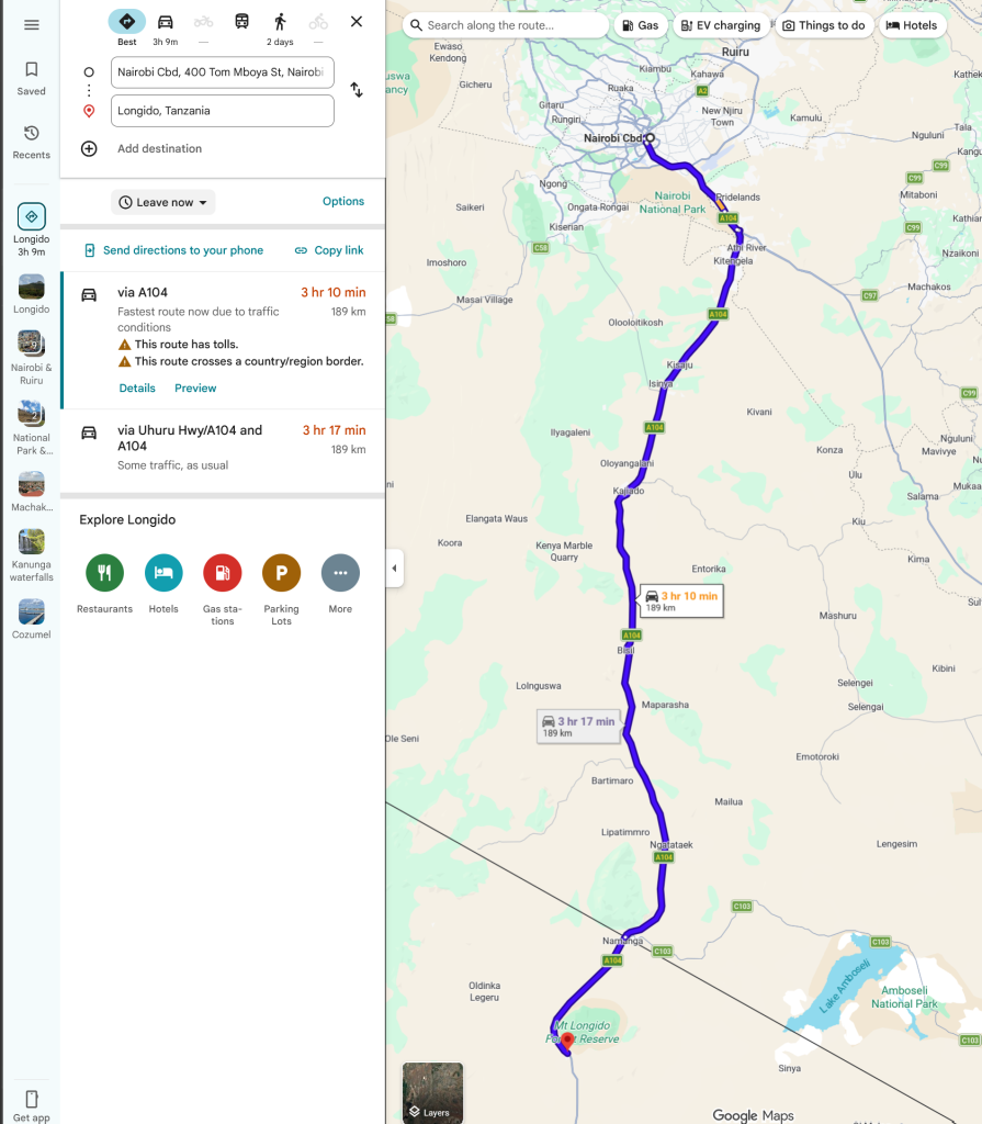
We expect to take about 4 hours to get to the starting point assuming smooth process at the border
Our route will take us along Mombasa highway and then turning south at the Athi River roundabout and driving all the way to the Namanga border where we will cross over to the starting point of Mt. Longido
- Hiking level – hard hike. Total hiking distance is around 15-16 km. Factors contributing include steep ascents and descents through rugged landscapes, extensive altitude ascent, steep terrain and loose soil
- Main attractions – It has lush forests to semi-arid terrain, showcasing the rich biodiversity of the region. The summit offers panoramic views of both Mt. Meru, Mt. Kilimanjaro, Longido southface and surrounding roads and town.
- Type of hike – High elevation gain hill/mountain hike
- Atmospheric conditions – Dry and hot at the base but it cools somewhat as you get to the summit.
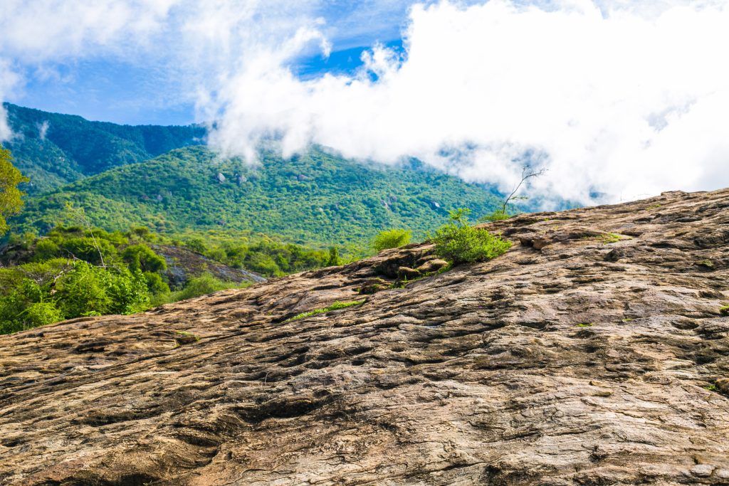
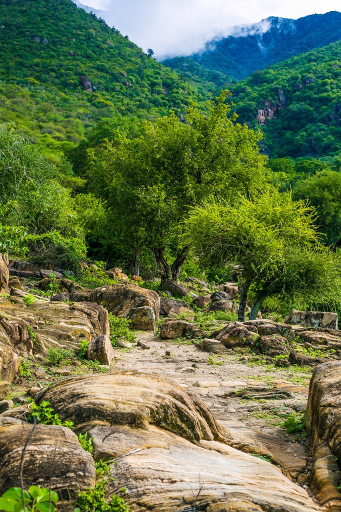
- Slipping hazard – Average – high as most sections in the forest entails steep ascent and descent through rugged landscapes. When it rains, caution ought to be observed because the soil and stones might be slippery.
- Steepness – Total elevation change is around 1300M over 7.5km on a rugged slope.
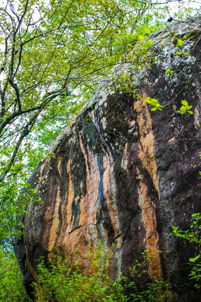
- Hiking path condition – Short road stretch, dusty, crossing streams of water, stony and trail path files inside the forest trail.
- Water usage – Medium to high. Recommend a minimum of 3 litres because of the heat and climbs.
- Route visibility – The hike involves trekking up a dirt road shortly, then bushland ascent up to montane level.
- Biodiversity – you may encounter wildlife such as colobus monkeys, various bird species, and small antelopes.
- Good hiking boots
- Sun hat – to protect against the sun/rain gear to protect against rain.
- Water – at least 3 litres.
- Snacks and lunch – since we expect to start at 8am/9am and finish latest by 5pm/6pm. We recommend you bring snacks and lunch to eat while relaxing at scenic locations along the route or at the summit.