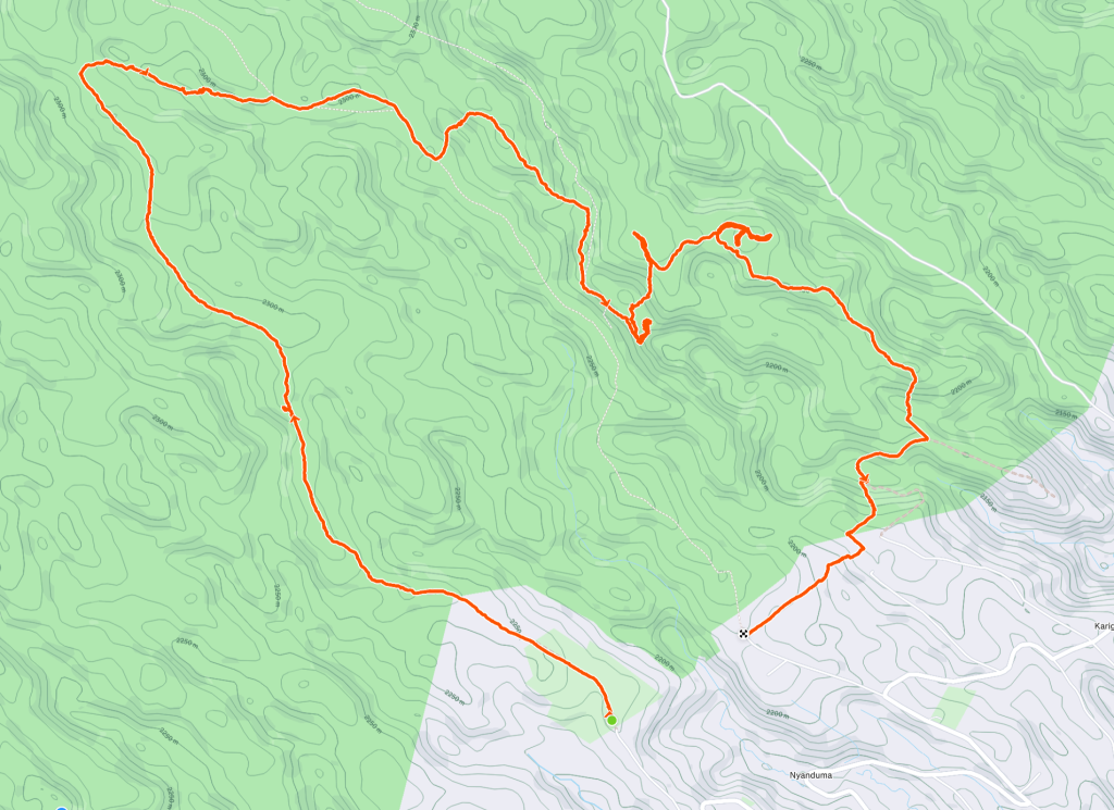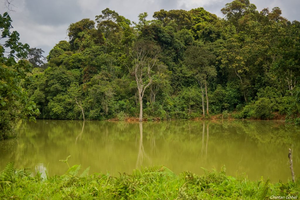
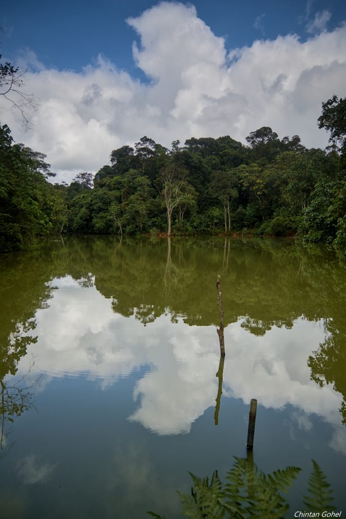
Located in Kiambu county, near the southern edges of Gatamaiyu Forest reserve is Nyanduma Forest. This hike starts at their KFS office and traverses along wide-open forest roads before we turn into the forest to get to the dam in question. Nyanduma dam offers a welcome relief from the first part of the hike with still waters. The dam is accessible and open for swimming
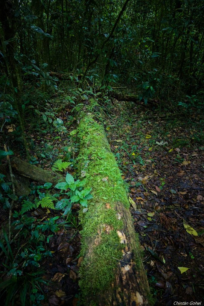
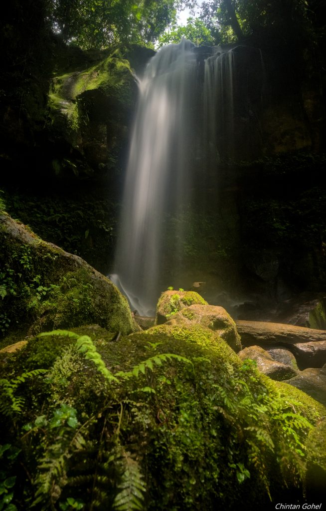
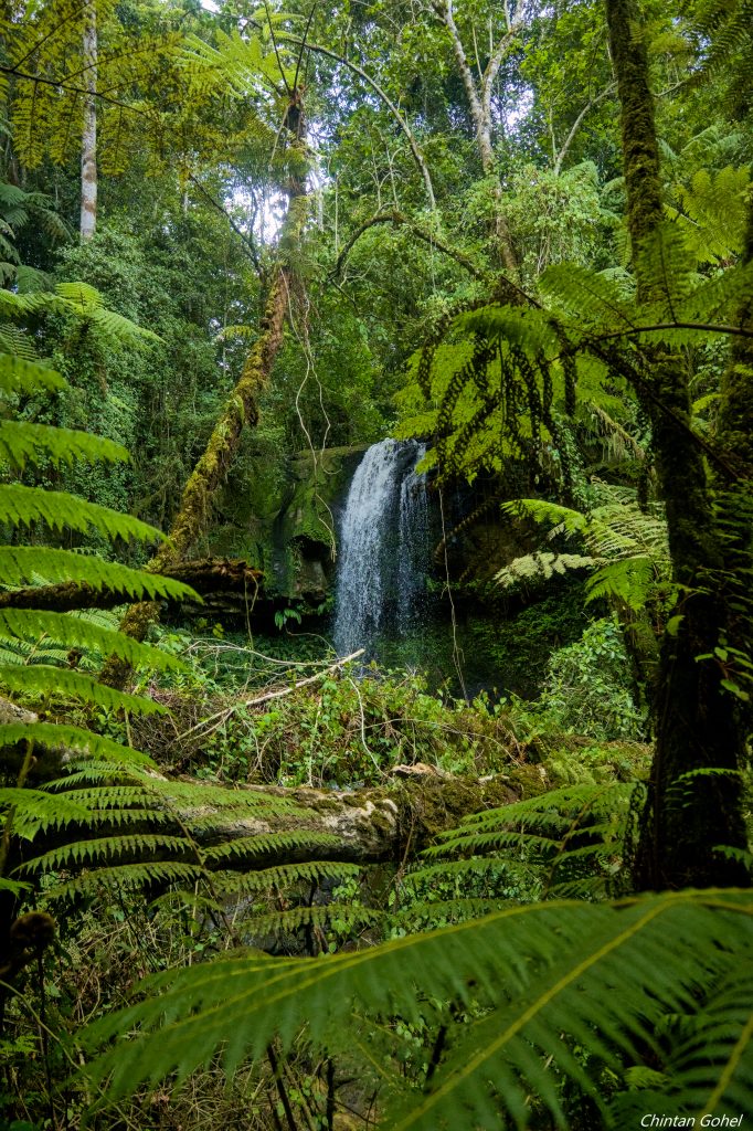
As we continue past the dam, we continue exploring the forest trails before we head down to the small waterfall guarded by fallen tree logs and rocky river beds
The final stretch takes us out of the forest and across tea farms before we get back to the starting point or close to it
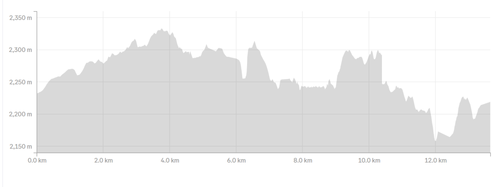
Total hiking distance comes to around 13km, thus making it a beginner moderate hike
The destination isn’t very far from Nairobi and we might take about 1.5 to 2 hours to get there depending on traffic and pickups
We would be using Thika Highway up to Ruiru and then take a left turn towards Nyanduma forest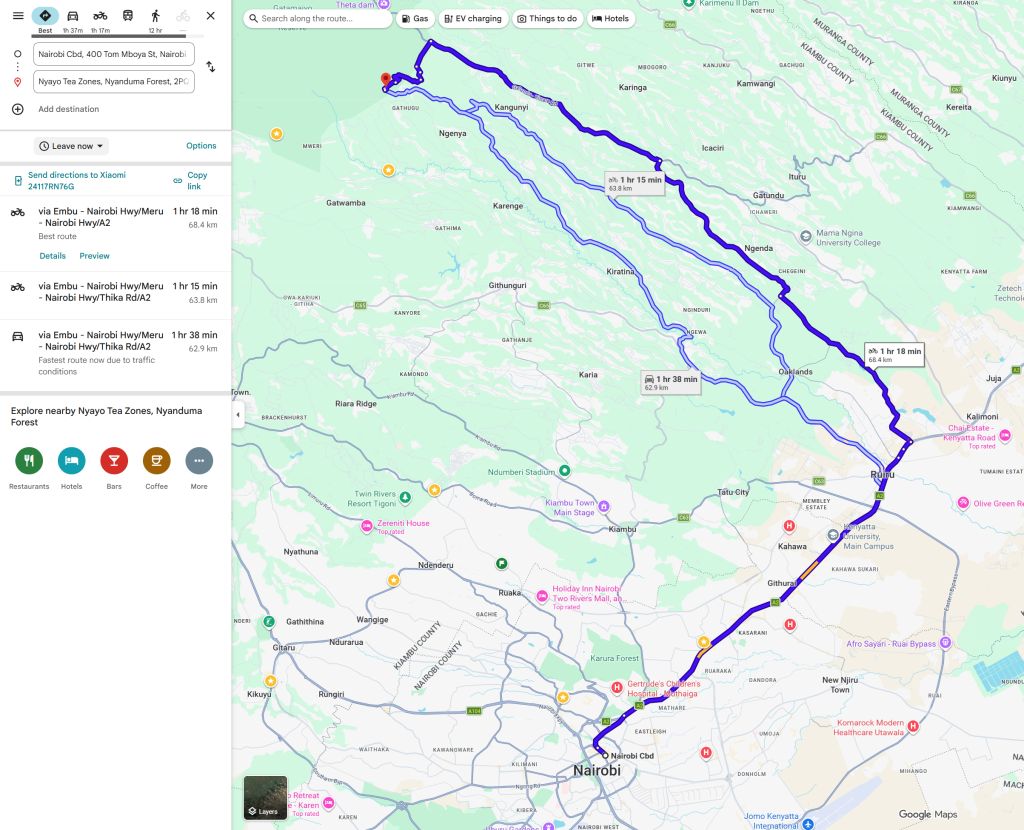
- Hiking level – beginner – moderate. Total hiking distance is about 12-13 km. Factors contributing to moderate hiking experience include the long treks and steeper climbs near the end of the hike
- Main attractions – forest trek, water dam circuit, elephant trails, waterfall
- Type of hike – forest trek
- Atmospheric conditions – due to the mid – high altitude and wet area, the weather tends to be cool and wet.
- Slipping hazard – moderate around the waterfall area
- Steepness – over the course of the hike, we will be steadily going up and then back down. Most sections are fairly gentle with the exception of the waterfall where there are several steep parts.
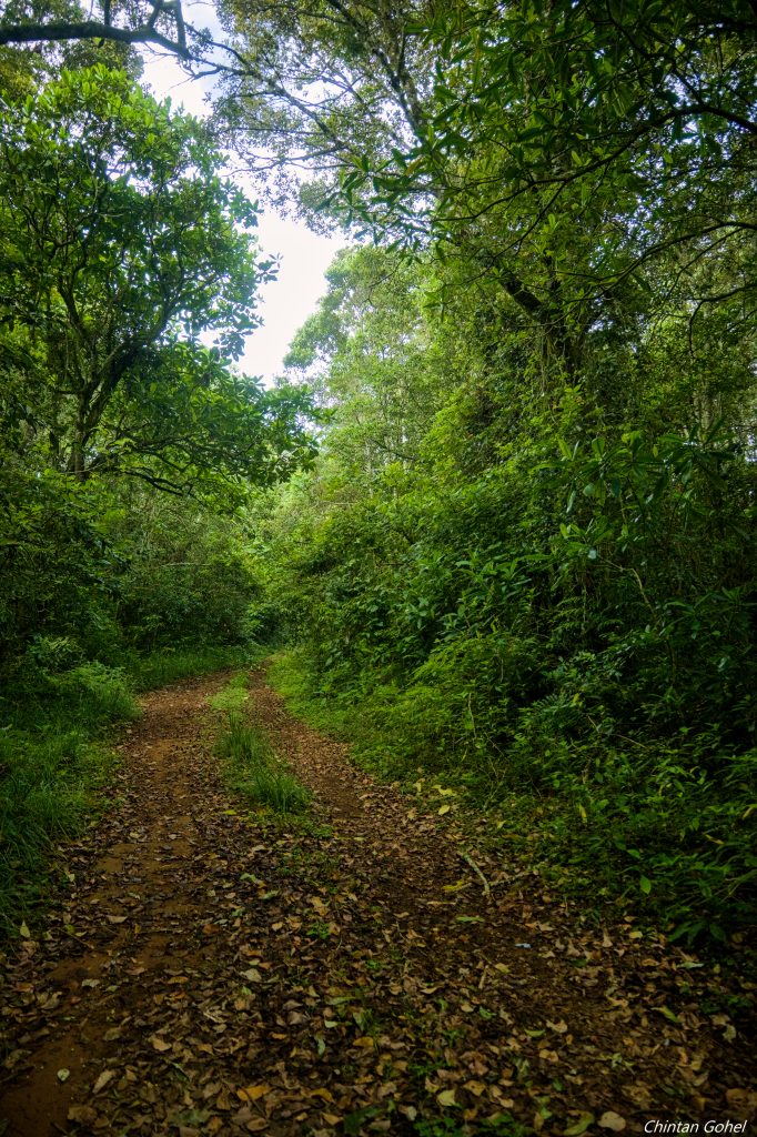
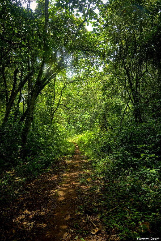
- Hiking path condition – First part is open road trails followed by elephant trails inside the forest.
- Water usage – medium – recommend a minimum of 2 litre depending on weather
- Route visibility – the trail is generally visible except for a few places where the paths can split
- Biodiversity – numerous species of insects, birds and trees
- Good hiking boots, walking stick
- Sun hat – to protect against the sun
- Water – at least 2 litres
- Snacks and lunch – we recommend you bring snacks and lunch to eat while relaxing at scenic locations along the route